Moorooka State School, Brisbane
Map
Gallery
Facts and practical information
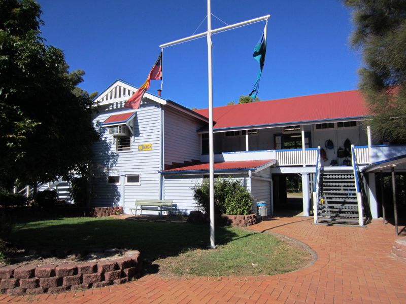
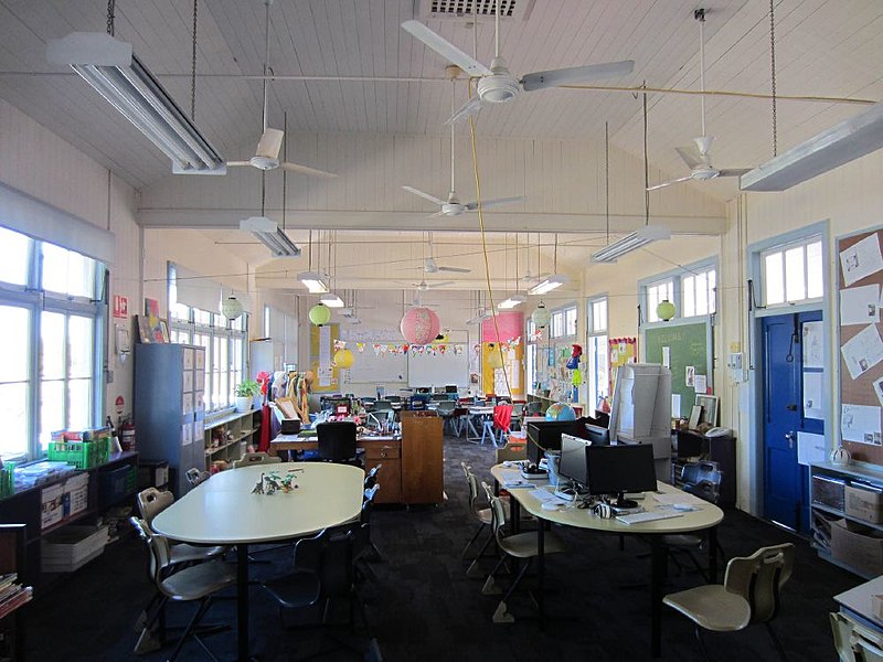
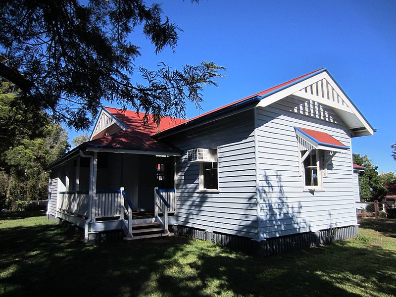
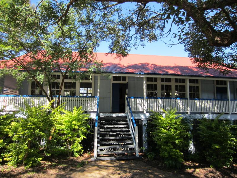
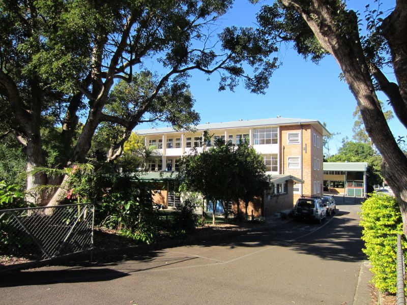
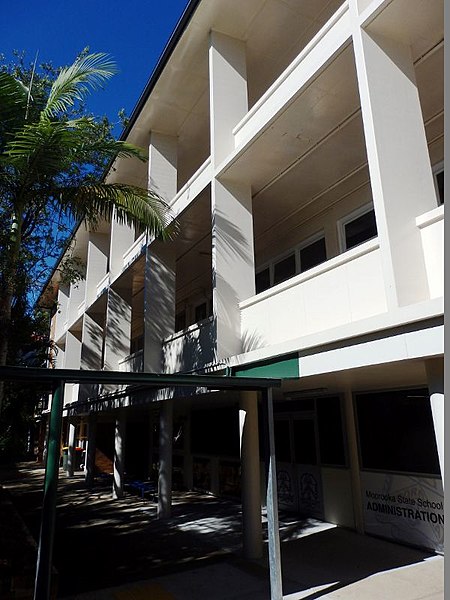
Moorooka State School is a heritage-listed state school at Sherley Street, Moorooka, City of Brisbane, Queensland, Australia. The buildings were designed by Department of Public Works and Frederick George Kirkegard with the first buildings being constructed from 1928 to 1929. It was added to the Queensland Heritage Register on 28 August 2015. ()
Coordinates: 27°32'10"S, 153°1'24"E
Address
MoorookaBrisbane
ContactAdd
Social media
Add
Day trips
Moorooka State School – popular in the area (distance from the attraction)
Nearby attractions include: Queensland Tennis Centre, Yeronga Memorial Park, Toohey Mountain, Kangaroo Point.
Frequently Asked Questions (FAQ)
Which popular attractions are close to Moorooka State School?
Nearby attractions include Kangaroo Point, Brisbane (11 min walk), Toohey Mountain, Brisbane (22 min walk).
How to get to Moorooka State School by public transport?
The nearest stations to Moorooka State School:
Bus
Train
Bus
- Ipswich Road at Michlin Street stop 37 • Lines: 100, N100 (13 min walk)
- Ipswich Road near Michlin Street stop 37 • Lines: 100 (13 min walk)
Train
- Moorooka (15 min walk)
- Rocklea (21 min walk)


