Wanda Walha, Brisbane
Map

Map

Facts and practical information
Wanda Walha is a heritage-listed detached house at 15 Gray Road, West End, Queensland, Australia. It was built in 1886. It was added to the Queensland Heritage Register on 21 October 1992. ()
Coordinates: 27°29'16"S, 153°0'5"E
Address
West EndBrisbane
ContactAdd
Social media
Add
Day trips
Wanda Walha – popular in the area (distance from the attraction)
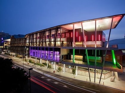
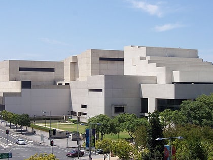
Nearby attractions include: Toowong Village, Brisbane Convention & Exhibition Centre, Cremorne Theatre, Queensland Performing Arts Centre.
Frequently Asked Questions (FAQ)
Which popular attractions are close to Wanda Walha?
Nearby attractions include Toowong Municipal Library Building, Brisbane (14 min walk), Moorlands, Brisbane (15 min walk), Dornoch Terrace Bridge, Brisbane (16 min walk), Gas Stripping Tower, Brisbane (16 min walk).
How to get to Wanda Walha by public transport?
The nearest stations to Wanda Walha:
Ferry
Bus
Train
Ferry
- West End Ferry Terminal • Lines: Uqsl-1410 (6 min walk)
- Guyatt Park Ferry Terminal • Lines: Uqsl-1410 (8 min walk)
Bus
- Sir Fred Schonell Drive at St Lucia Ferry stop 21 • Lines: 412 (12 min walk)
- Benson St at Toowong, stop 14 • Lines: 412 (14 min walk)
Train
- Toowong (14 min walk)
- Auchenflower (22 min walk)


