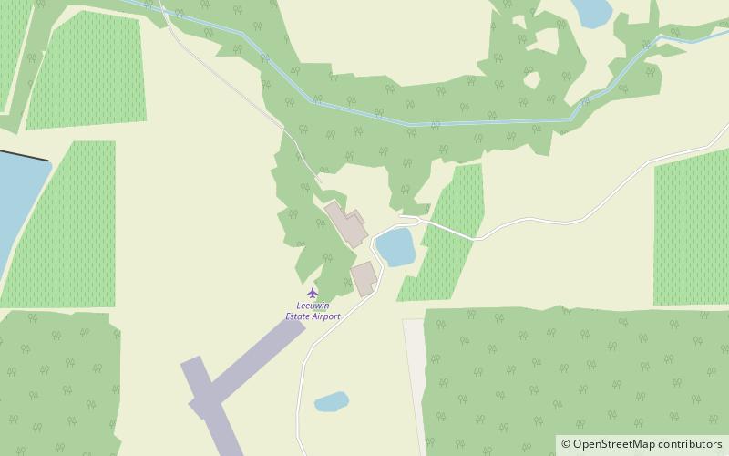
Boranup, Leeuwin-Naturaliste National Park
Map

Map

Facts and practical information
Boranup, in the Shire of Augusta-Margaret River in the South West region of Western Australia, is the site of a large coastal dune blow out known as the "Boranup sand patch" as part of the Boranup beach, and the site of a former M. C. Davies timber company mill. The sand patch area and sand blows affected the alignment of the Busselton to Flinders Bay railway. ()
Coordinates: 34°4'41"S, 115°0'56"E
Address
Leeuwin-Naturaliste National Park
ContactAdd
Social media
Add
Day trips
Boranup – popular in the area (distance from the attraction)
Nearby attractions include: Mammoth Cave, Leeuwin Estate, Lake Cave.


