Coolangatta Mountain, Shoalhaven Heads
Map

Map

Facts and practical information
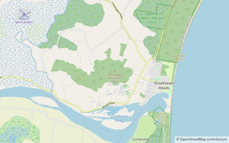
Coolangatta Mountain is a small mountain rising from the Shoalhaven River Plain in New South Wales. It rises to about 300 metres above sea level and is not open to the public. It is covered in remnant bushland and is easily visible from Saddleback Mountain. It is named after an early settlement on the banks of the Shoalhaven known as Coolangatta and is only indirectly related to the better-known Coolangatta, Queensland. ()
Coordinates: 34°50'38"S, 150°42'55"E
Address
Shoalhaven Heads
ContactAdd
Social media
Add
Day trips
Coolangatta Mountain – popular in the area (distance from the attraction)
Nearby attractions include: Museum, Crookhaven Heads Light, Seven Mile Beach, Shoalhaven Heads Golf Club.


