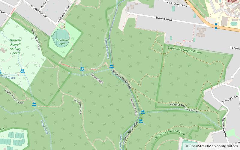
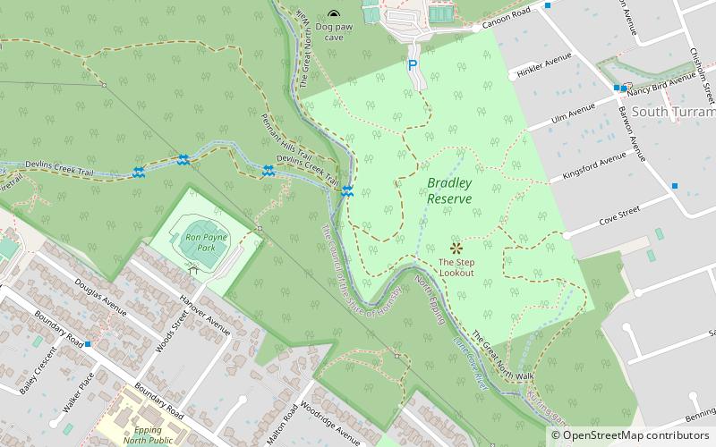
Sydney Sandstone Gully Forest, Sydney
Map

Map

Facts and practical information
Coordinates: 33°44'18"S, 151°5'26"E
Address
Ku-ring-gai (Wahroonga)Sydney
ContactAdd
Social media
Add
Day trips
Sydney Sandstone Gully Forest – popular in the area (distance from the attraction)
Nearby attractions include: Macquarie Centre, Westfield Hornsby, Macquarie Ice Rink, Koala Park Sanctuary.
Frequently Asked Questions (FAQ)
How to get to Sydney Sandstone Gully Forest by public transport?
The nearest stations to Sydney Sandstone Gully Forest:
Bus
Train
Bus
- Thornleigh Station • Lines: 600 (20 min walk)
- Pomona Street • Lines: 600 (21 min walk)
Train
- Thornleigh (22 min walk)
- Pennant Hills (27 min walk)

 Sydney Trains
 Sydney Light Rail
 Sydney Ferries


