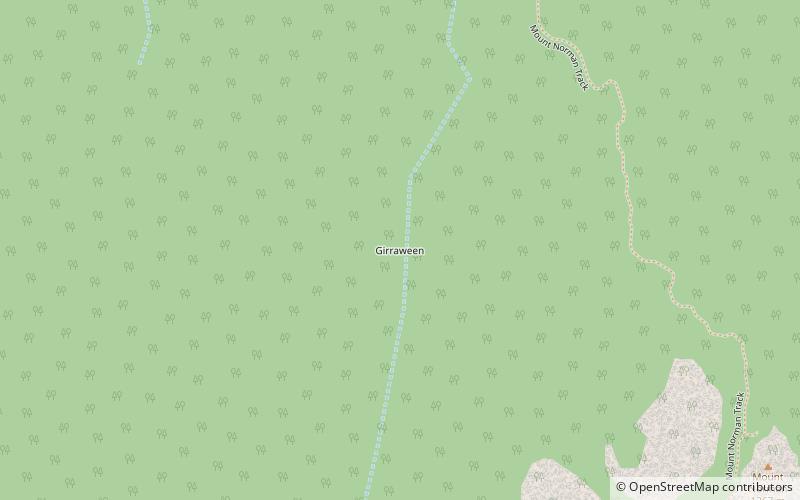
Girraween, Girraween National Park

Map
Facts and practical information
Girraween is an undeveloped locality in the Southern Downs Region, Queensland, Australia. It in the Granite Belt and on the border with New South Wales. In the 2016 census, Girraween had a population of 12 people. ()
Coordinates: 28°51'28"S, 151°57'17"E
Address
Girraween National Park
ContactAdd
Social media
Add
Day trips
Girraween – popular in the area (distance from the attraction)
Nearby attractions include: Wallangarra.
