Elizabeth Farm Reserve, Sydney
Map

Map

Facts and practical information
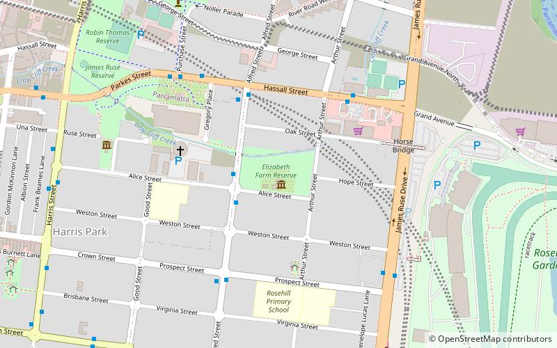
Elizabeth Farm Reserve is a heritage-listed public reserve on former farmland associated with Elizabeth Farm, located at Arthur Street, Rosehill, City of Parramatta, New South Wales, Australia. The property is owned by Parramatta City Council. It was added to the New South Wales State Heritage Register on 2 April 1999. ()
Elevation: 46 ft a.s.l.Coordinates: 33°49'15"S, 151°1'4"E
Address
Parramatta (Rosehill)Sydney
ContactAdd
Social media
Add
Day trips
Elizabeth Farm Reserve – popular in the area (distance from the attraction)
Nearby attractions include: Westfield Parramatta, Rosehill Gardens Racecourse, Hambledon Cottage, New South Wales Lancers Memorial Museum.
Frequently Asked Questions (FAQ)
Which popular attractions are close to Elizabeth Farm Reserve?
Nearby attractions include Elizabeth Farm, Sydney (1 min walk), Hambledon Cottage, Sydney (7 min walk), Experiment Farm Cottage, Sydney (8 min walk), Parramatta Sand Body Conservation Area and Military Barracks Site, Sydney (11 min walk).
How to get to Elizabeth Farm Reserve by public transport?
The nearest stations to Elizabeth Farm Reserve:
Bus
Train
Ferry
Bus
- Arthur Street • Lines: M92 (5 min walk)
- Rosehill Racecourse • Lines: M92 (7 min walk)
Train
- Harris Park (16 min walk)
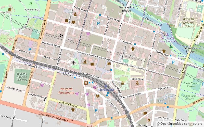
- Parramatta (20 min walk)
Ferry
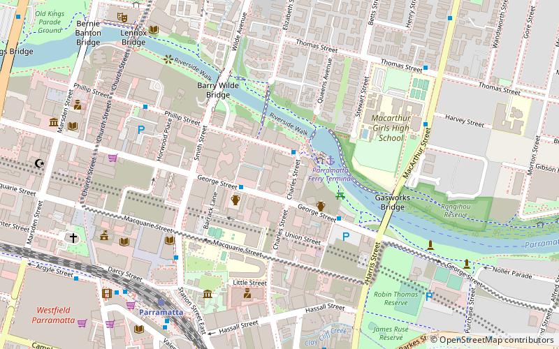
- Parramatta Ferry Terminal (17 min walk)

 Sydney Trains
 Sydney Light Rail
 Sydney Ferries


