Vernon Islands

Map
Facts and practical information
Vernon Islands is a locality in the Northern Territory of Australia located over land and water in the Clarence Strait including the Vernon Islands and which is located about 55 kilometres north-east of the territory capital of Darwin. ()
Coordinates: 12°3'59"S, 131°5'46"E
Location
Northern Territory
ContactAdd
Social media
Add
Day trips
Vernon Islands – popular in the area (distance from the attraction)
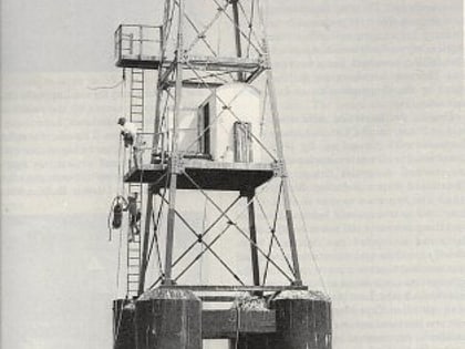
Nearby attractions include: East Vernon Light.
