Club Filter Melbourne, Melbourne
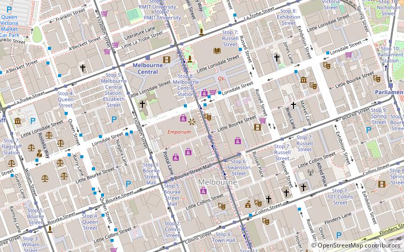
Map
Facts and practical information
Club Filter, based upstairs at the Lounge bar and nightclub at 243 Swanston Street in the heart of Melbourne, holds the record as the city's longest-running techno music night, having run every Wednesday night from 1992 to 2003. ()
Coordinates: 37°48'44"S, 144°57'54"E
Address
City of Melbourne (Melbourne CBD)Melbourne
ContactAdd
Social media
Add
Getting there by public transportation
Public transportation stops near this location
- Bus
- Tram
- Train
- Ferry
 Bus
Bus
- Calculate routeMelbourne Central/Lonsdale Street 2 min walk
- Calculate routeTattersalls Lane/Lonsdale Street 3 min walk
- Calculate routeElizabeth Street/Lonsdale Street 5 min walk
- Calculate routeLittle Lonsdale Street/Russell Street 6 min walk
- Calculate routeStop 10: Bourke Street Mall 2 min walk
- Calculate routeStop 6: Swanston Street 3 min walk
- Calculate routeStop 3: Bourke Street Mall 4 min walk
- Calculate routeStop 5: Bourke Street Mall 4 min walk
- Calculate routeMelbourne Central 6 min walk
- Calculate routeFlinders Street 11 min walk
- Calculate routeParliament 12 min walk
- Calculate routeFlagstaff 13 min walk
- Calculate routePort Phillip Ferries 30 min walk
Maps Melbourne TramsMaps
 Victoria Trains
Melbourne TramsMapsVictoria TrainsDay trips


Frequently Asked Questions (FAQ)
Which popular attractions are close to Club Filter Melbourne?
Nearby attractions include Curtin House, Melbourne (1 min walk), Rooftop Cinema, Melbourne (1 min walk), Caledonian Lane, Melbourne (1 min walk), Lonsdale Street, Melbourne (2 min walk).
How to get to Club Filter Melbourne by public transport?
The nearest stations to Club Filter Melbourne:
Bus
Tram
Train
Ferry
Bus
- Melbourne Central/Lonsdale Street • Lines: 200, 207, 250, 251, 303, 350 (2 min walk)
- Tattersalls Lane/Lonsdale Street • Lines: 303 (3 min walk)
Tram
- Stop 10: Bourke Street Mall • Lines: 1, 16, 16d, 3, 3a, 5, 6, 64, 64d, 67, 67d, 6d, 72 (2 min walk)
- Stop 6: Swanston Street • Lines: 86, 86a, 86d, 96, 96d (3 min walk)
Train
- Melbourne Central (6 min walk)
- Flinders Street (11 min walk)
Ferry
- Port Phillip Ferries (30 min walk)