Upper Castlereagh Public School
Map
Facts and practical information
The Upper Castlereagh Public School is a heritage-listed former closed school building located at 312 Old Castlereagh Road in the western Sydney suburb of Castlereagh in the City of Penrith local government area of New South Wales, Australia. It was designed by George Allen Mansfield and built from 1878 to 1879 by James Evans. It is also known as Upper Castlereagh Public School and residence. The property is owned by New South Wales Minister for Community Services. It was added to the New South Wales State Heritage Register on 2 April 1999. ()
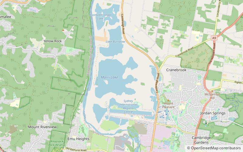
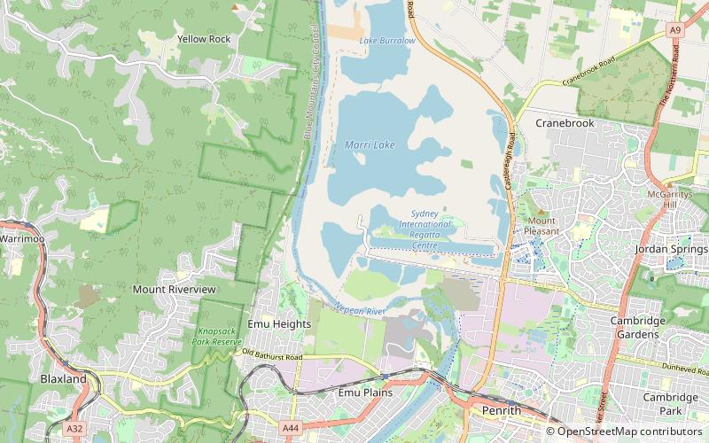
Coordinates: 33°43'15"S, 150°39'57"E
Location
New South Wales
ContactAdd
Social media
Add
Day trips