Uniting Church, Orange
Map

Map

Facts and practical information
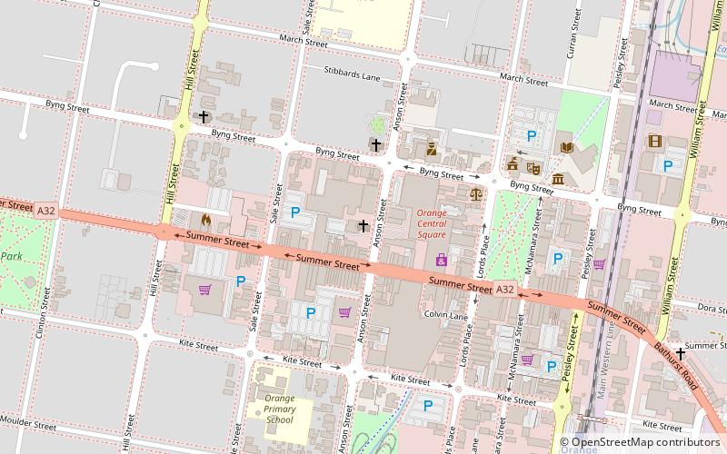
The Uniting Church and Kindergarten Hall is a heritage-listed church building at 219-255 Anson Street, Orange, City of Orange, New South Wales, Australia. It is also known as Wesley Uniting Church. The property is owned by the Uniting Church in Australia. It was added to the New South Wales State Heritage Register on 2 April 1999. ()
Coordinates: 33°16'57"S, 149°5'55"E
Address
Orange
ContactAdd
Social media
Add
Day trips
Uniting Church – popular in the area (distance from the attraction)
Nearby attractions include: Cook Park, Courallie Park Child Development Centre, Orange Post Office, The Corner Store Gallery.
Frequently Asked Questions (FAQ)
Which popular attractions are close to Uniting Church?
Nearby attractions include Orange Post Office, Orange (4 min walk), Berrilea, Orange (13 min walk), Cook Park, Orange (13 min walk), The Corner Store Gallery, Orange (18 min walk).
How to get to Uniting Church by public transport?
The nearest stations to Uniting Church:
Train
Train
- Orange (11 min walk)


