Uriarra, Brindabella National Park
Map

Map

Facts and practical information
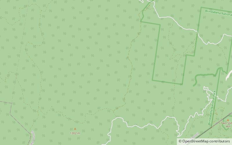
Uriarra is a locality in the Southern Tablelands of New South Wales, Australia in the Yass Valley Shire. It is north of the locality of Uriarra in the Australian Capital Territory and north-west of Canberra. At the 2016 census, it had a population of 30. The locality is mostly located in the Urayarra parish of Cowley County, although part of it in Pabral parish, which lies further west. ()
Coordinates: 35°14'36"S, 148°49'4"E
Address
Brindabella National Park
ContactAdd
Social media
Add
Day trips
Uriarra – popular in the area (distance from the attraction)
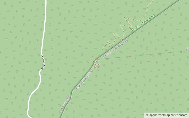
Nearby attractions include: Mount Coree.

