Airport Link, Brisbane
Map

Gallery

Facts and practical information
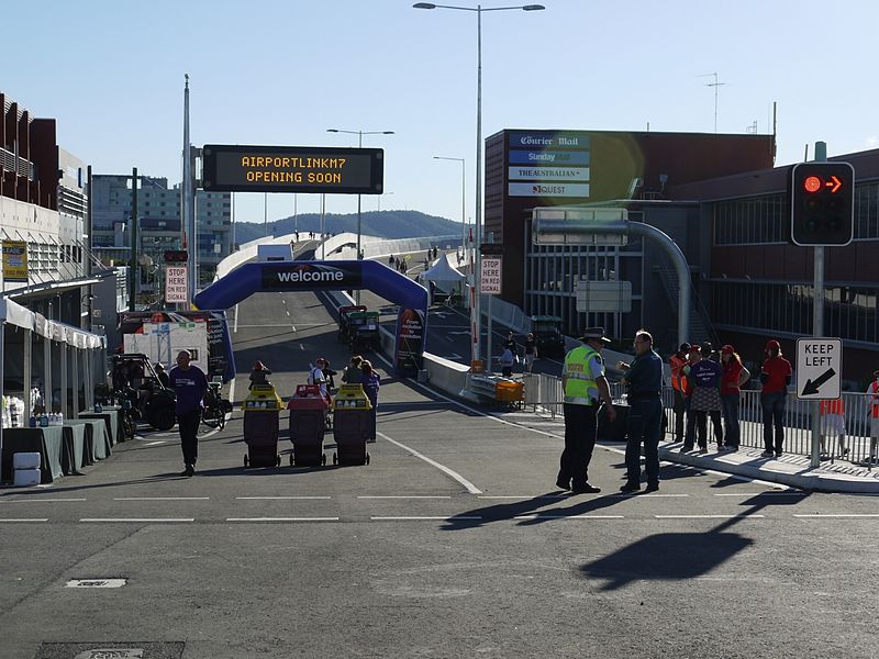
The Airport Link is a tunnelled, motorway grade, toll road in the northern suburbs of Brisbane, Queensland, Australia. It connects the Brisbane central business district and the Clem Jones Tunnel to the East-West Arterial Road which leads to the Brisbane Airport. It was built in conjunction with the Windsor to Kedron section of the Northern Busway in approximately the same corridor. ()
Coordinates: 27°24'37"S, 153°3'20"E
Day trips
Airport Link – popular in the area (distance from the attraction)
Nearby attractions include: Toombul, Eagle Farm Racecourse, Nundah Cemetery, Kalinga Park.
Frequently Asked Questions (FAQ)
Which popular attractions are close to Airport Link?
Nearby attractions include Kalinga Park, Brisbane (5 min walk), Corpus Christi Church, Brisbane (12 min walk), Toombul Shire Hall, Brisbane (13 min walk), Eagle Junction, Brisbane (15 min walk).
How to get to Airport Link by public transport?
The nearest stations to Airport Link:
Train
Bus
Train
- Toombul (7 min walk)
- Eagle Junction (14 min walk)
Bus
- Toombul Interchange (8 min walk)


