Queanbeyan Showground, Queanbeyan

Gallery (2)
Map

Map
Gallery
Facts and practical information
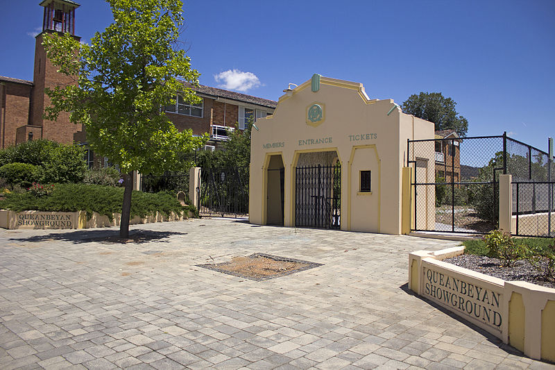
Queanbeyan Showground is a heritage-listed showground at 19-41 Farrer Place, Queanbeyan, Queanbeyan-Palerang Region, New South Wales, Australia. The property is owned by Queanbeyan-Palerang Regional Council. It was added to the New South Wales State Heritage Register on 15 March 2013. ()
Coordinates: 35°21'24"S, 149°13'51"E
Address
Queanbeyan
ContactAdd
Social media
Add
Day trips


Frequently Asked Questions (FAQ)
Which popular attractions are close to Queanbeyan Showground?
Nearby attractions include Queanbeyan Printing Museum, Queanbeyan (3 min walk), Harris Park Pre-school, Queanbeyan (5 min walk), St Stephen's Presbyterian Church and Manse, Queanbeyan (8 min walk), Queanbeyan River, Queanbeyan (23 min walk).