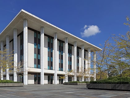
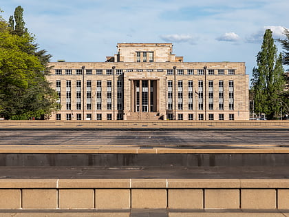
Australasian Tunnelling Society, Canberra
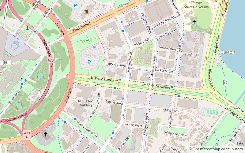
Map
Facts and practical information
In 1973 the Institution of Engineers Australia and the Australasian Institute of Mining and Metallurgy collaborated in the formation of the Australian Tunnelling Association. It is a professional organization of engineers and other skilled professionals committed to the maintenance of high standards and the expansion of technical and scientific knowledge pertaining to tunnel construction. ()
Coordinates: 35°18'31"S, 149°7'59"E
Address
South Canberra (Barton)Canberra
ContactAdd
Social media
Add
Day trips
Australasian Tunnelling Society – popular in the area (distance from the attraction)
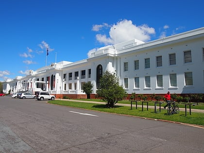
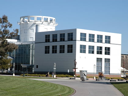
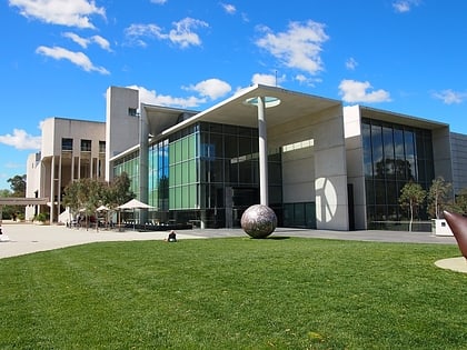
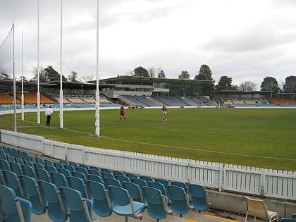
Nearby attractions include: Old Parliament House, Questacon, National Gallery of Australia, Manuka Oval.
Frequently Asked Questions (FAQ)
Which popular attractions are close to Australasian Tunnelling Society?
Nearby attractions include Kings Avenue, Canberra (8 min walk), Constitution Place, Canberra (9 min walk), St Mark's National Theological Centre, Canberra (10 min walk), Canberra Nature Park, Canberra (10 min walk).
How to get to Australasian Tunnelling Society by public transport?
The nearest stations to Australasian Tunnelling Society:
Train
Train
- Canberra (30 min walk)
