Nowra Bridge, Nowra
Map

Map

Facts and practical information
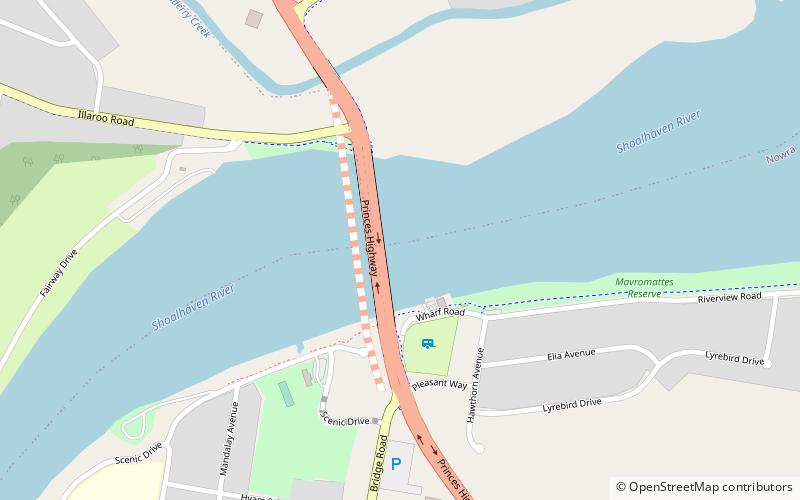
The Nowra Bridge is a road bridge that carries the Princes Highway over the Shoalhaven River, at Nowra in the Shoalhaven Council local government area, on the South Coast of New South Wales, Australia. The bridge joins the main area of Nowra to North Nowra and Bomaderry. ()
Completed: 1881 (145 years ago)Length: 1013 ftCoordinates: 34°51'51"S, 150°36'7"E
Address
Nowra
ContactAdd
Social media
Add
Day trips
Nowra Bridge – popular in the area (distance from the attraction)
Nearby attractions include: Meroogal, Fleet Air Arm Museum, Shoalhaven Zoo, All Saints Nowra.


