Perth waterfront development proposals, Perth
Map
Map

Facts and practical information
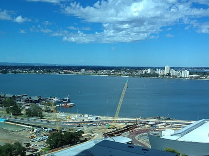
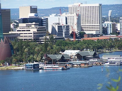
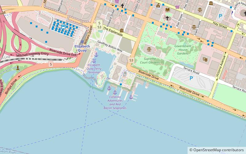
The north shore of Perth Water on the Swan River frontage to the city of Perth in Western Australia has been frequently changed since the arrival of Europeans in 1829. Various forms and structures have appeared and been removed over the last 190 years. Jetties, ports and various forms of reclamation have moved the shore considerably into Perth Water. The main eras of reclamation were in the 1870s, 1900s, 1920s-1937, 1955–1959, and 1967. ()
Coordinates: 31°57'33"S, 115°51'29"E
Address
Perth CBDPerth
ContactAdd
Social media
Add
Day trips
Perth waterfront development proposals – popular in the area (distance from the attraction)
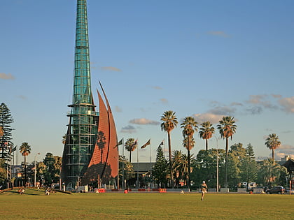
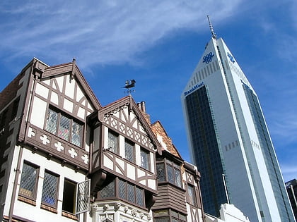
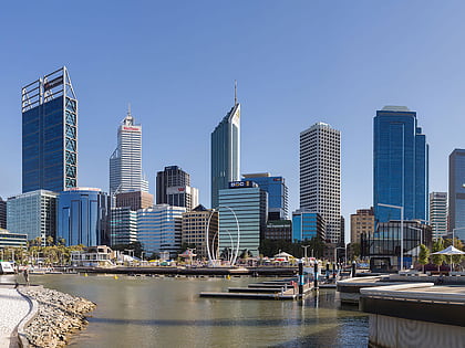
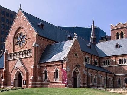
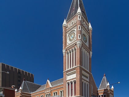
Nearby attractions include: Swan Bells, London Court, Elizabeth Quay, St George's Cathedral.
Frequently Asked Questions (FAQ)
Which popular attractions are close to Perth waterfront development proposals?
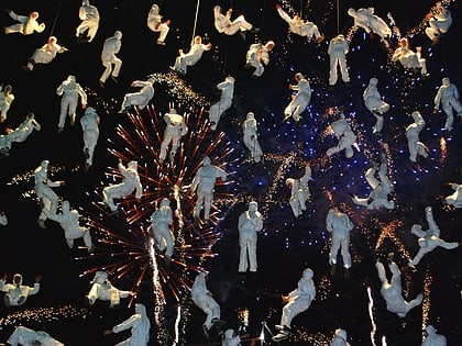
Nearby attractions include Barrack Square, Perth (1 min walk), Swan Bells, Perth (1 min walk), Spanda Sculpture, Perth (4 min walk), Elizabeth Quay, Perth (4 min walk).
How to get to Perth waterfront development proposals by public transport?
The nearest stations to Perth waterfront development proposals:
Bus
Ferry
Train
Bus
- Barrack Square • Lines: 1 (1 min walk)
- Elizabeth Quay Bus Station (9 min walk)
Ferry
- Barrack Street Jetty • Lines: Express (3 min walk)
- Elizabeth Quay Ferry Terminal • Lines: Transperth Ferry - Elizabeth Qua, Transperth Ferry - Mends Street (4 min walk)
Train
- Elizabeth Quay (6 min walk)
- Perth (15 min walk)
