CSIRO Hut, Kosciuszko National Park
Map
Facts and practical information
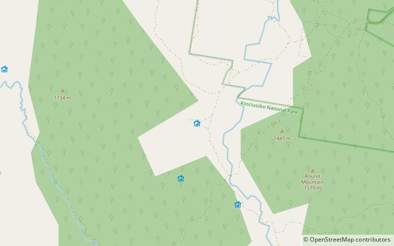
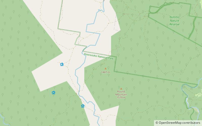
CSIRO Hut, also known as the Rabbiters Hut, is an Australian alpine hut in the Kosciuszko National Park. ()
Coordinates: 36°13'45"S, 148°33'38"E
Address
Kosciuszko National Park
ContactAdd
Social media
Add
Day trips
CSIRO Hut – popular in the area (distance from the attraction)
Nearby attractions include: Daveys Hut.