Garrison Point, Sydney
Map

Map

Facts and practical information
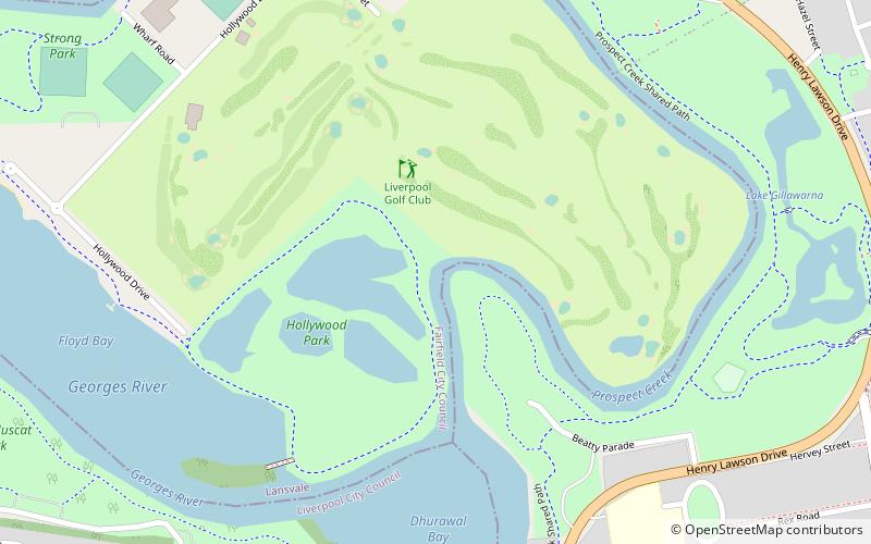
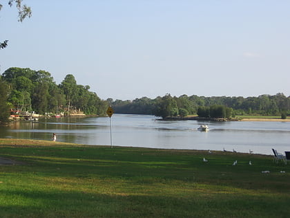
Garrison Point is a promontory and historically significant urban park located near the junction of Georges River and Prospect Creek. The parkland may be accessed off Henry Lawson Drive, in the south-western Sydney suburb of Georges Hall, in the City of Canterbury-Bankstown local government area of New South Wales, Australia. ()
Elevation: 20 ft a.s.l.Coordinates: 33°54'26"S, 150°58'23"E
Address
Fairfield (Lansvale)Sydney
ContactAdd
Social media
Add
Day trips
Garrison Point – popular in the area (distance from the attraction)
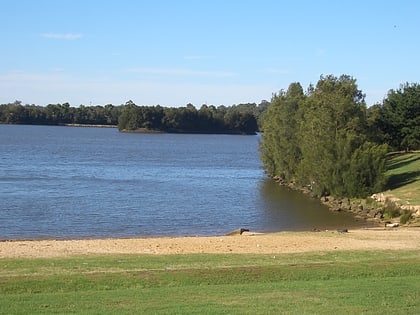
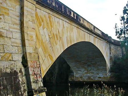
Nearby attractions include: Chipping Norton Lake, Lansdowne Bridge, Bass Hill Plaza, Kentucky Reserve.

 Sydney Trains
 Sydney Light Rail
 Sydney Ferries


