Southport Spit, Gold Coast

Gallery (2)
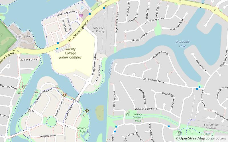
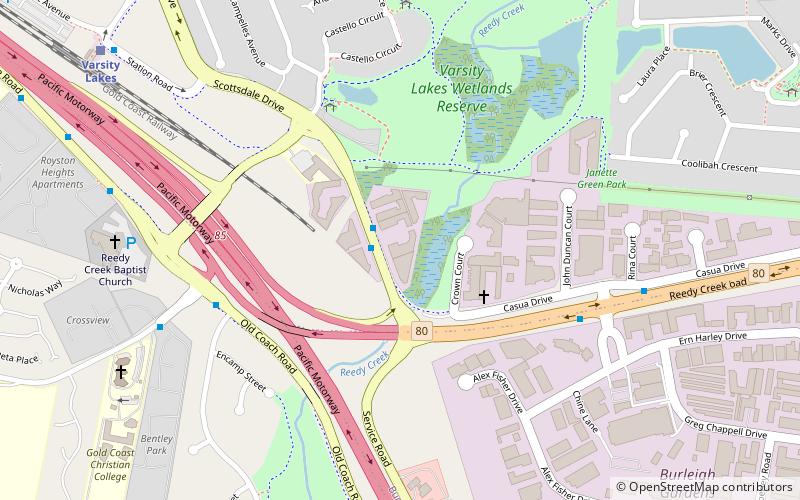
Map
Map
Gallery
Facts and practical information
The Southport Spit is a spit and neighbourhood within the northern end of Main Beach, City of Gold Coast, Queensland, Australia. It is a permanent sand spit that separates the Southport Broadwater from the Pacific Ocean. ()
Coordinates: 28°5'21"S, 153°24'42"E
Address
Varsity LakesGold Coast
ContactAdd
Social media
Add
Getting there by public transportation
Public transportation stops near this location
- Bus
- Train
 Bus
Bus
- Calculate routeYodelay St near Babu St 8 min walk
- Calculate routeCumberland Dr near Yodelay St 10 min walk
- Calculate routeVarsity Pde near University Dr 15 min walk
- Calculate routeVarsity Lakes 23 min walk
Day trips


Frequently Asked Questions (FAQ)
How to get to Southport Spit by public transport?
The nearest stations to Southport Spit:
Bus
Train
Bus
- Yodelay St near Babu St • Lines: 754 (8 min walk)
- Cumberland Dr near Yodelay St • Lines: 754 (10 min walk)
Train
- Varsity Lakes (23 min walk)