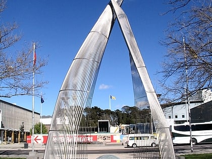
Petrie Plaza, Canberra
Map
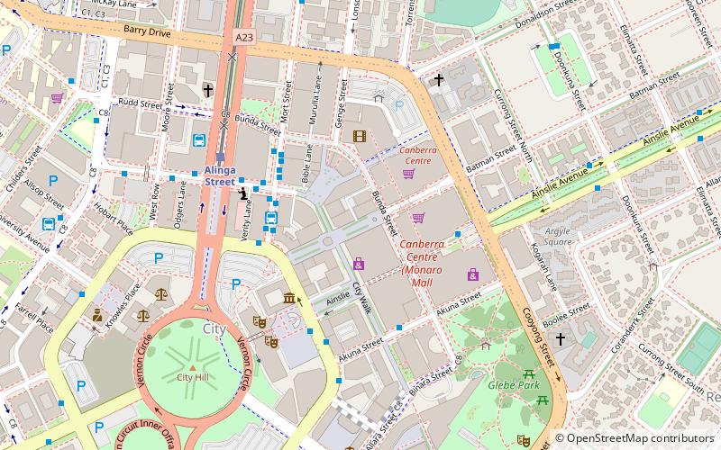
Map

Facts and practical information
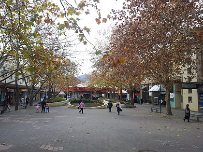
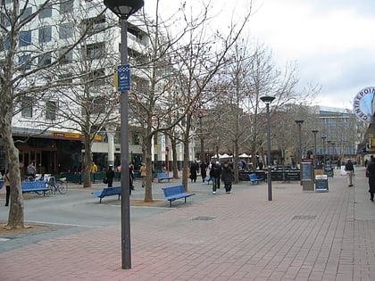
Petrie Plaza is a pedestrian mall located in the Canberra City Centre City Centre, Australian Capital Territory, Australia, being the largest centre within the Australian Capital Territory. ()
Coordinates: 35°16'45"S, 149°7'58"E
Address
North Canberra (City)Canberra
ContactAdd
Social media
Add
Day trips
Petrie Plaza – popular in the area (distance from the attraction)
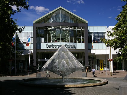
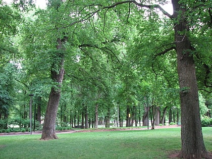
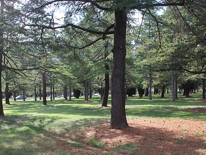
Nearby attractions include: Commonwealth Park, Canberra Centre, City Hill, Manning Clark House.
Frequently Asked Questions (FAQ)
Which popular attractions are close to Petrie Plaza?
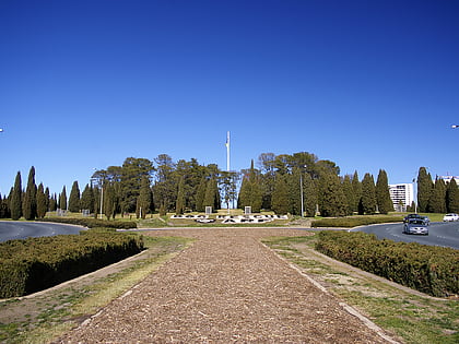
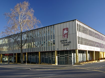
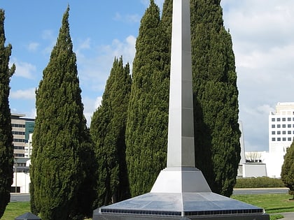
Nearby attractions include Bunda Street, Canberra (1 min walk), Garema Place, Canberra (2 min walk), ACT Memorial, Canberra (3 min walk), Canberra Museum and Gallery, Canberra (4 min walk).
How to get to Petrie Plaza by public transport?
The nearest stations to Petrie Plaza:
Bus
Light rail
Bus
- City Bus Station Platform 9 • Lines: 30 (4 min walk)
- City Bus Station (4 min walk)
Light rail
- Alinga Street • Lines: Canberra Metro (Nouthbound), Canberra Metro (Southbound) (6 min walk)
- Elouera Street • Lines: Canberra Metro (Nouthbound), Canberra Metro (Southbound) (13 min walk)
