National Hockey Centre, Canberra
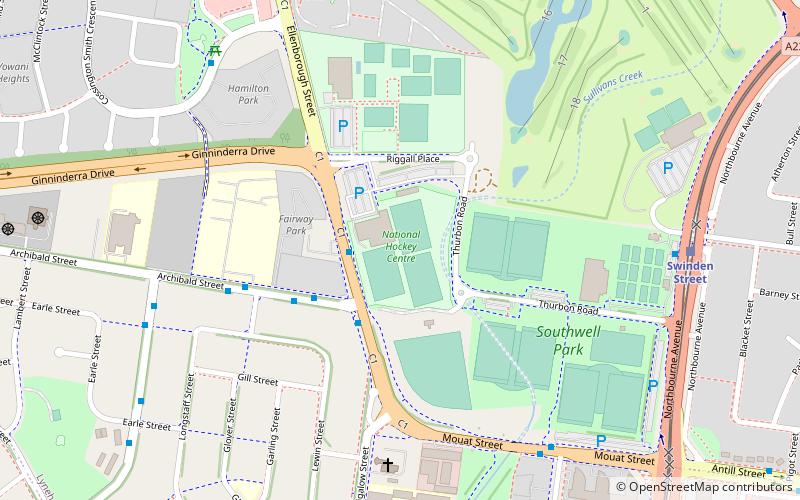
Map
Facts and practical information
The National Hockey Centre, is a government owned outdoor field hockey stadium located in Lyneham, a northern suburb of Canberra, Australian Capital Territory. It offers three international standard water-based hockey pitches which are used for both international and domestic competition, as well as training activities. ()
Coordinates: 35°14'40"S, 149°7'42"E
Address
North Canberra (Lyneham)Canberra
ContactAdd
Social media
Add
Getting there by public transportation
Public transportation stops near this location
- Bus
- Light rail
 Bus
Bus
- Calculate routeMouat Street Hockey Centre 2 min walk
- Calculate routeNorthbourne Avenue before Morphett Street 17 min walk
- Calculate routeSwinden Street 9 min walk
- Calculate routeDickson Interchange 14 min walk
- Calculate routePhillip Avenue 28 min walk
- Calculate routeMacarthur Avenue 29 min walk
Day trips


Frequently Asked Questions (FAQ)
How to get to National Hockey Centre by public transport?
The nearest stations to National Hockey Centre:
Bus
Light rail
Bus
- Mouat Street Hockey Centre • Lines: 30 (2 min walk)
- Northbourne Avenue before Morphett Street • Lines: 30 (17 min walk)
Light rail
- Swinden Street • Lines: Canberra Metro (Nouthbound), Canberra Metro (Southbound) (9 min walk)
- Dickson Interchange • Lines: Canberra Metro (Nouthbound), Canberra Metro (Southbound) (14 min walk)