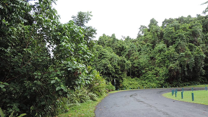
Wooroonooran, Wooroonooran National Park
Map

Gallery

Facts and practical information
Wooroonooran is a locality split among the Cairns Region, the Cassowary Coast Region, and the Tablelands Region in Queensland, Australia. In the 2016 census, Wooroonooran had no population. ()
Coordinates: 17°23'28"S, 145°49'13"E
Address
Wooroonooran National Park
ContactAdd
Social media
Add
Day trips
Wooroonooran – popular in the area (distance from the attraction)
Nearby attractions include: Josephine Falls, Devil's Pool, Mount Bartle Frere.


