Iron Range

Map
Facts and practical information
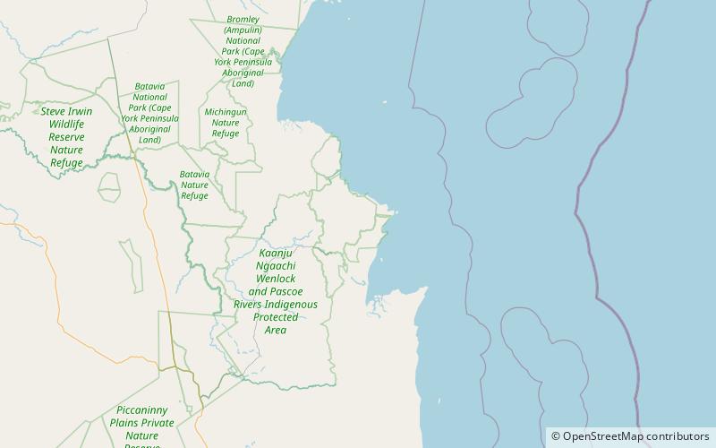
Iron Range is a coastal locality in the Shire of Cook, Queensland, Australia. In the 2016 census, Iron Range had a population of 14 people. The town of Portland Road is on a north-east headland in the locality. ()
Coordinates: 12°39'15"S, 143°19'41"E
Location
Queensland
ContactAdd
Social media
Add
Day trips
Iron Range – popular in the area (distance from the attraction)
Nearby attractions include: Gordon's Mine and Mill, Kutini-Payamu National Park.

