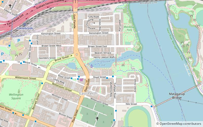
Claisebrook Road, Perth
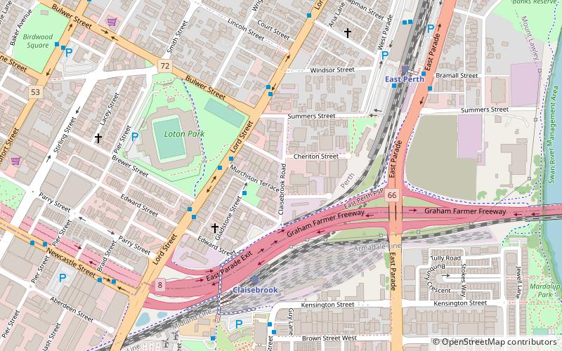
Map
Facts and practical information
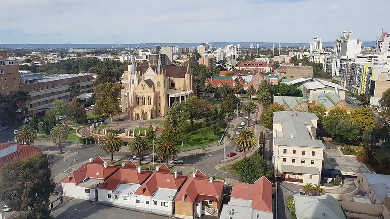
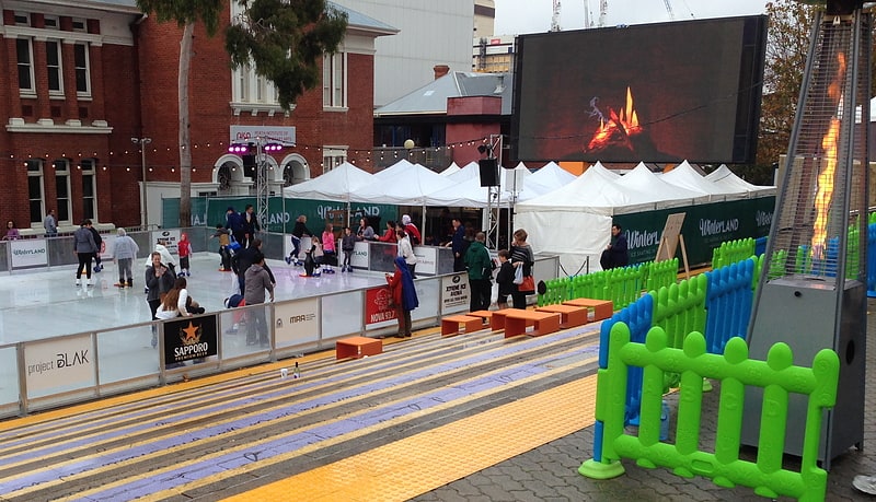
Claisebrook Road is a road in Perth, Western Australia that originally ran between Summers Street in the north to Wittenoom St, East Perth in the south. ()
Coordinates: 31°56'48"S, 115°52'24"E
Address
East PerthPerth
ContactAdd
Social media
Add
Getting there by public transportation
Public transportation stops near this location
- Bus
- Train
- Ferry
 Bus
Bus
- Calculate routeClaisebrook 5 min walk
- Calculate routeEast Perth 8 min walk
- Calculate routeMcIver 14 min walk
- Calculate routePerth 21 min walk
- Calculate routeClaisebrook Station 9 min walk
- Calculate routeEast Perth TAFE 10 min walk
- Calculate routeEducational Department 10 min walk
- Calculate routeRoyal Street Car Park 11 min walk
- Calculate routeBarrack Street Jetty 33 min walk
- Calculate routeElizabeth Quay Ferry Terminal 33 min walk
Day trips


Frequently Asked Questions (FAQ)
Which popular attractions are close to Claisebrook Road?
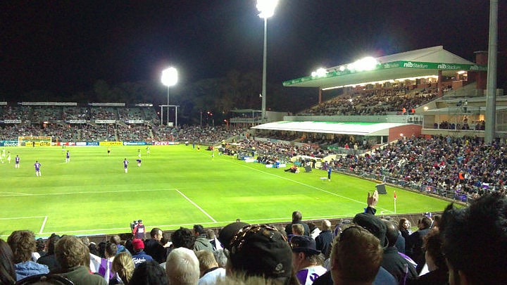
Nearby attractions include nib Stadium, Perth (6 min walk), Graham Farmer Freeway, Perth (8 min walk), Claisebrook Cove, Perth (13 min walk), Wellington Square, Perth (14 min walk).
How to get to Claisebrook Road by public transport?
The nearest stations to Claisebrook Road:
Train
Bus
Ferry
Train
- Claisebrook (5 min walk)
- East Perth (8 min walk)
Bus
- Claisebrook Station • Lines: 3F, 3T (9 min walk)
- East Perth TAFE • Lines: 3F, 3T (10 min walk)
Ferry
- Barrack Street Jetty • Lines: Express (33 min walk)
- Elizabeth Quay Ferry Terminal • Lines: Transperth Ferry - Elizabeth Qua, Transperth Ferry - Mends Street (33 min walk)