Laburnum, Melbourne

Map
Facts and practical information
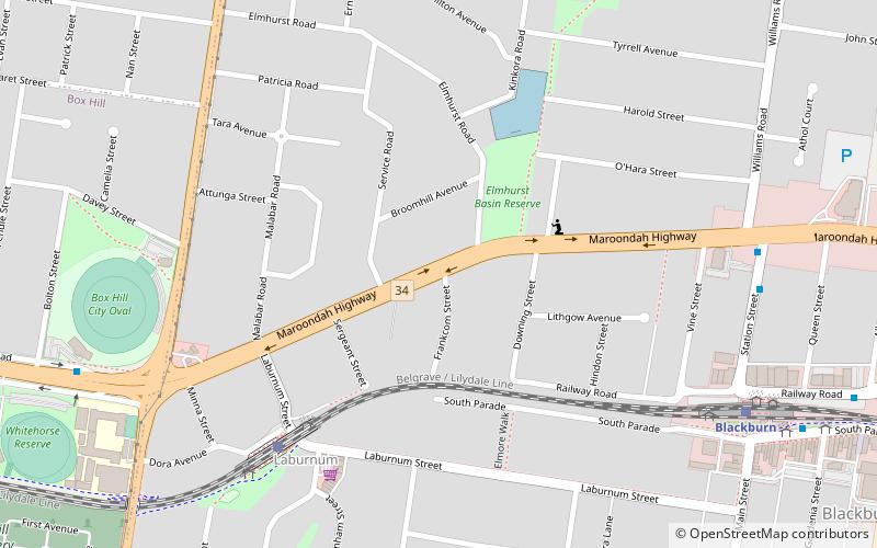
Laburnum refers to a small area in the 'Bellbird' area of the suburb of Blackburn, Victoria, Australia. It covers the area bordered by Middleborough and Blackburn Roads, Gardiners Creek and the Belgrave/Lilydale railway line. It is a heavily treed area noted for its Laburnum bushes. It is in the local government area of the City of Whitehorse in Melbourne's eastern suburbs. ()
Coordinates: 37°49'5"S, 145°8'38"E
Address
Whitehorse (Blackburn)Melbourne
ContactAdd
Social media
Add
Day trips
Laburnum – popular in the area (distance from the attraction)
Nearby attractions include: Box Hill Central, Box Hill Cemetery, Box Hill Town Hall, Melbourne/Box Hill and Glen Waverley.
Frequently Asked Questions (FAQ)
Which popular attractions are close to Laburnum?
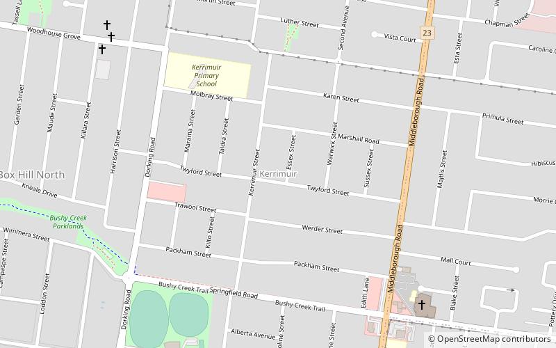
Nearby attractions include Box Hill Cemetery, Melbourne (15 min walk), Kerrimuir, Melbourne (24 min walk), Box Hill Town Hall, Melbourne (24 min walk).
How to get to Laburnum by public transport?
The nearest stations to Laburnum:
Train
Bus
Train
- Laburnum (7 min walk)
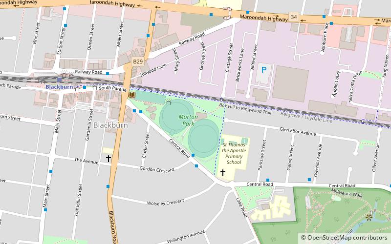
- Blackburn (10 min walk)
Bus
- Blackburn Station • Lines: 703, 901 (10 min walk)
- Box Hill City Oval/Whitehorse Rd • Lines: 271, 279 (11 min walk)
 Melbourne Trams
 Victoria Trains


