State Coal Mine, Wonthaggi

Gallery (1)
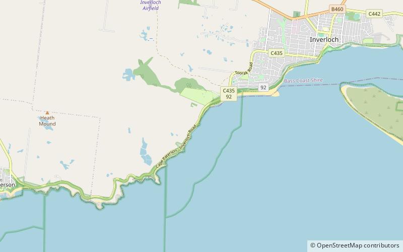
Map
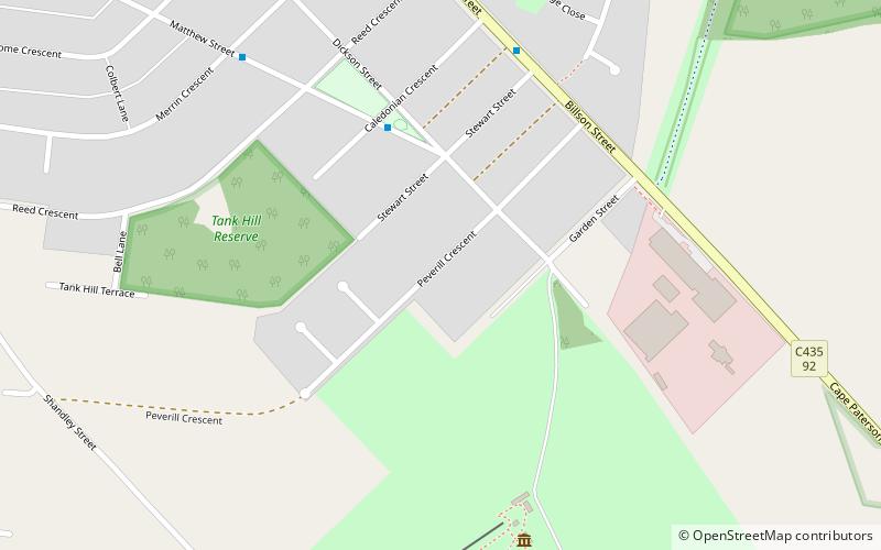
Map
Facts and practical information
The State Coal Mine, also known as State Coal Mine Heritage Area, is a former 20th century state-owned black coal mine located in Wonthaggi, Victoria, Australia. The mine was operational from 1910 until 1968 and is now a state park and tourist attraction. ()
Coordinates: 38°37'7"S, 145°35'42"E
Address
Wonthaggi
ContactAdd
Social media
Add
Day trips