Morphett Street, Adelaide
Map
Facts and practical information
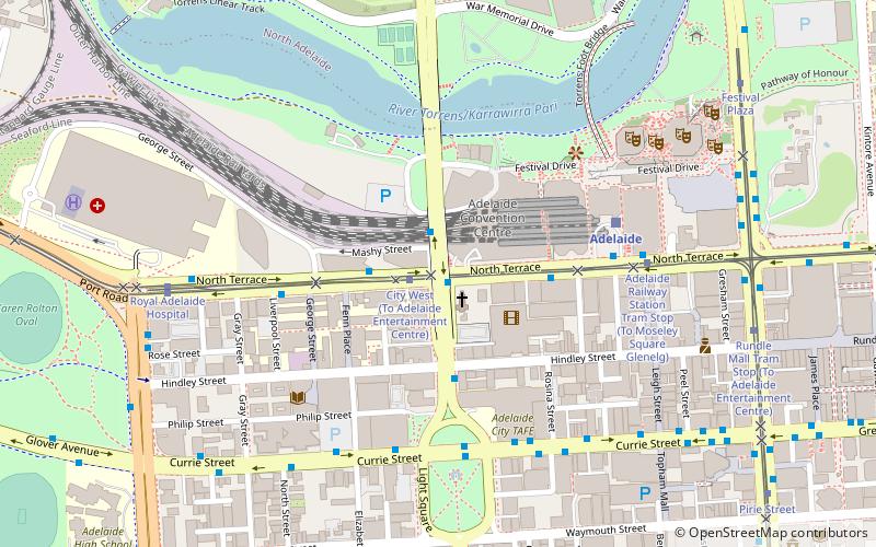
Morphett Street is a main street in the west of the city centre of Adelaide, South Australia, parallel to King William Street and numbered from north to south. At its northern end it is part of the West End of Adelaide, a thriving cultural and entertainment precinct, with the Lion Arts Centre on the south-western corner of its junction with North Terrace. ()
Coordinates: 34°55'19"S, 138°35'36"E
Address
Adelaide (Adelaide Park Lands)Adelaide
ContactAdd
Social media
Add
Getting there by public transportation
Public transportation stops near this location
- Bus
- Tram
- Train
 Bus
Bus
- Calculate routeCity West 1 min walk
- Calculate routeAdelaide Railway Station Tram Stop 6 min walk
- Calculate routeRoyal Adelaide Hospital 8 min walk
- Calculate routeRundle Mall Tram Stop 10 min walk
- Calculate routeStop D1 Currie Street - North side 6 min walk
- Calculate routeStop W2 Currie Street - South side 6 min walk
- Calculate routeStop Z1 King William Street - West side 9 min walk
- Calculate routeStop B1 King William Street - East side 10 min walk
- Calculate routeAdelaide 6 min walk
- Calculate routeMile End 20 min walk
- Calculate routeNorth Adelaide 32 min walk
- Calculate routeAdelaide Parklands Terminal 33 min walk
Day trips


Frequently Asked Questions (FAQ)
Which popular attractions are close to Morphett Street?
Nearby attractions include Holy Trinity Church, Adelaide (2 min walk), ACE Open, Adelaide (2 min walk), JamFactory, Adelaide (2 min walk), Hindley Street, Adelaide (3 min walk).
How to get to Morphett Street by public transport?
The nearest stations to Morphett Street:
Tram
Bus
Train
Tram
- City West (1 min walk)
- Adelaide Railway Station Tram Stop (6 min walk)
Bus
- Stop D1 Currie Street - North side • Lines: 830F (6 min walk)
- Stop W2 Currie Street - South side • Lines: 830F (6 min walk)
Train
- Adelaide (6 min walk)
- Mile End (20 min walk)