Palerang, Tallaganda National Park

Gallery (2)
Map
Map
Gallery
Facts and practical information
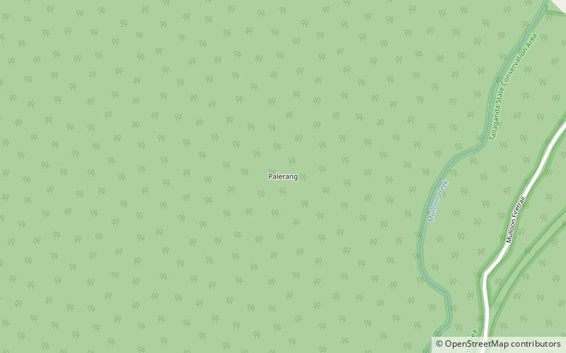
Palerang is a locality in Queanbeyan-Palerang Regional Council, New South Wales, Australia. The town lies 55 km east of Canberra on the Palerang range. At the 2016 census, it had a population of none. It includes part of the Tallaganda National Park and State Conservation Area. ()
Coordinates: 35°25'24"S, 149°34'7"E
Address
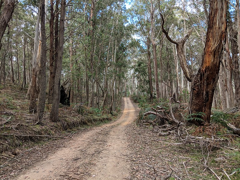
Tallaganda National Park
ContactAdd
Social media
Add