160 Ann Street, Brisbane
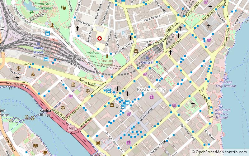
Map
Facts and practical information
160 Ann Street, Brisbane is an office tower located in the heart of central business district of Brisbane, Queensland in Australia and adjacent to the Brisbane River. After its completion in 1972, the tower was owned successively by Australian companies Zurich Australia Insurance, Precision Group, Investa Property Group, and CorVal Partners. ()
Coordinates: 27°28'1"S, 153°1'27"E
Address
Brisbane CityBrisbane
ContactAdd
Social media
Add
Getting there by public transportation
Public transportation stops near this location
- Bus
- Train
- Ferry
 Bus
Bus
- Calculate routeAnn Street stop 9 near King George Square 2 min walk
- Calculate routeTurbot Street Stop 3 near Albert St 2 min walk
- Calculate routeEdward Street Stop 141 near Ann St 2 min walk
- Calculate routeKing George Square, platform 2D 3 min walk
- Calculate routeCentral 4 min walk
- Calculate routeRoma Street 10 min walk
- Calculate routeFortitude Valley 25 min walk
- Calculate routeSouth Bank 27 min walk
- Calculate routeNorth Quay 1 11 min walk
- Calculate routeNorth Quay 2 11 min walk
- Calculate routeEagle Street Pier Ferry Terminal 11 min walk
- Calculate routeHolman Street Ferry Terminal 15 min walk
Day trips


Frequently Asked Questions (FAQ)
Which popular attractions are close to 160 Ann Street?
Nearby attractions include Albert Street Uniting Church, Brisbane (2 min walk), 180 Brisbane, Brisbane (2 min walk), Ann Street Presbyterian Church, Brisbane (2 min walk), King Edward Park Air Raid Shelter, Brisbane (3 min walk).
How to get to 160 Ann Street by public transport?
The nearest stations to 160 Ann Street:
Bus
Train
Ferry
Bus
- Ann Street stop 9 near King George Square • Lines: 470, 475, 476 (2 min walk)
- Turbot Street Stop 3 near Albert St • Lines: 470 (2 min walk)
Train
- Central (4 min walk)
- Roma Street (10 min walk)
Ferry
- North Quay 1 • Lines: Chop-400, Uqsl-1410 (11 min walk)
- North Quay 2 • Lines: Chop-400 (11 min walk)