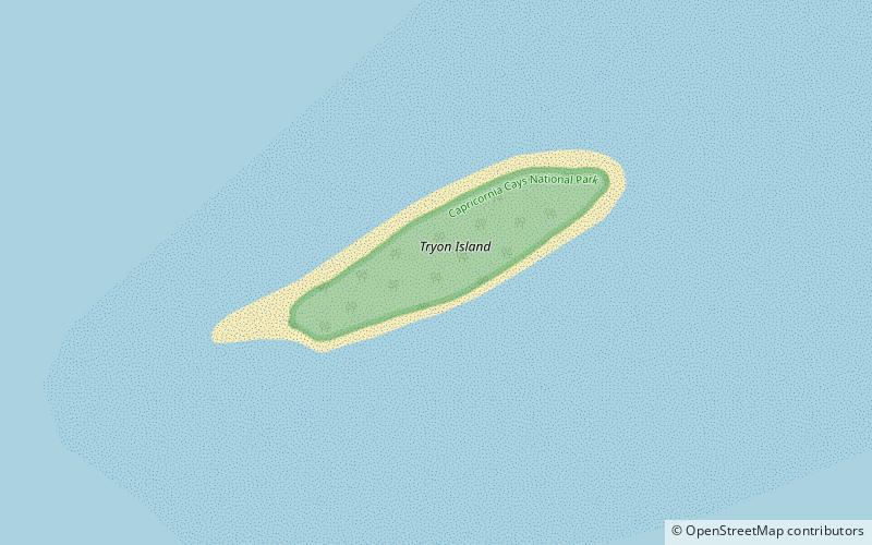
Tryon Island, Capricornia Cays National Park

Map
Facts and practical information
Tryon Island is a coral cay located in the southern Great Barrier Reef, 86 km northeast of Gladstone, Queensland, Australia, and 465 km north of the state capital Brisbane. The island is a protected area and forms part of Capricornia Cays National Park. It is part of the Capricornia Cays Important Bird Area. The cay covers an area of 0.21 square kilometres and is surrounded by a coral reef that is partially exposed at low-tide. ()
Coordinates: 23°14'50"S, 151°46'43"E
Address
Capricornia Cays National Park
ContactAdd
Social media
Add
Day trips
Tryon Island – popular in the area (distance from the attraction)
Nearby attractions include: North West Island.
