Margaret Street, Brisbane
Map

Map

Facts and practical information
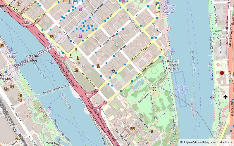
Margaret Street is a major road in the central business district of Brisbane. The street is one of a number that were named after female members of the royal family shortly after the penal colony was settled. ()
Coordinates: 27°28'24"S, 153°1'38"E
Address
Brisbane CityBrisbane
ContactAdd
Social media
Add
Day trips
Margaret Street – popular in the area (distance from the attraction)
Nearby attractions include: Queen Street Mall, The Myer Centre, Brisbane Arcade, Wintergarden.
Frequently Asked Questions (FAQ)
Which popular attractions are close to Margaret Street?
Nearby attractions include Brisbane Synagogue, Brisbane (1 min walk), Brisbane Hebrew Congregation, Brisbane (1 min walk), Alice Street, Brisbane (2 min walk), Frog's Hollow, Brisbane (2 min walk).
How to get to Margaret Street by public transport?
The nearest stations to Margaret Street:
Bus
Ferry
Train
Bus
- Margaret Street Stop 94 near George St • Lines: 118, P331 (1 min walk)
- George Street Stop 123 near Alice St • Lines: P205, P331 (2 min walk)
Ferry
- North Quay 2 • Lines: Chop-400 (8 min walk)
- North Quay 1 • Lines: Chop-400, Uqsl-1410 (8 min walk)
Train
- Central (14 min walk)
- South Bank (17 min walk)


