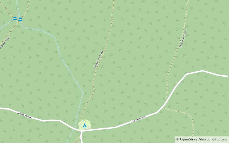
Warby Range State Park, Warby-Ovens National Park

Map
Facts and practical information
Warby Range State Park was a Victorian state park just north of Glenrowan. In 2010 the park became part of the newly declared Warby-Ovens National Park. It is 11,460 hectares in area, and named after Ben Warby, a pastoralist who settled in the area in 1844. There are two basic campgrounds, and many other sites for true bush camping. ()
Coordinates: 36°13'6"S, 146°10'52"E
Address
Warby-Ovens National Park
ContactAdd
Social media
Add