Roseville Bridge, Sydney
Map

Map

Facts and practical information
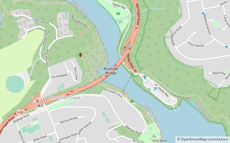
The Roseville Bridge, is a pre-stressed concrete box girder road bridge that carries Warringah Road, part of the A38 across Middle Harbour, located adjacent to the suburb of Roseville, in Sydney, New South Wales, Australia. The bridge is one of two crossings of Middle Harbour, the other being the Spit Bridge. ()
Opened: 2 April 1966 (59 years ago)Length: 1237 ftCoordinates: 33°46'23"S, 151°12'14"E
Day trips
Roseville Bridge – popular in the area (distance from the attraction)
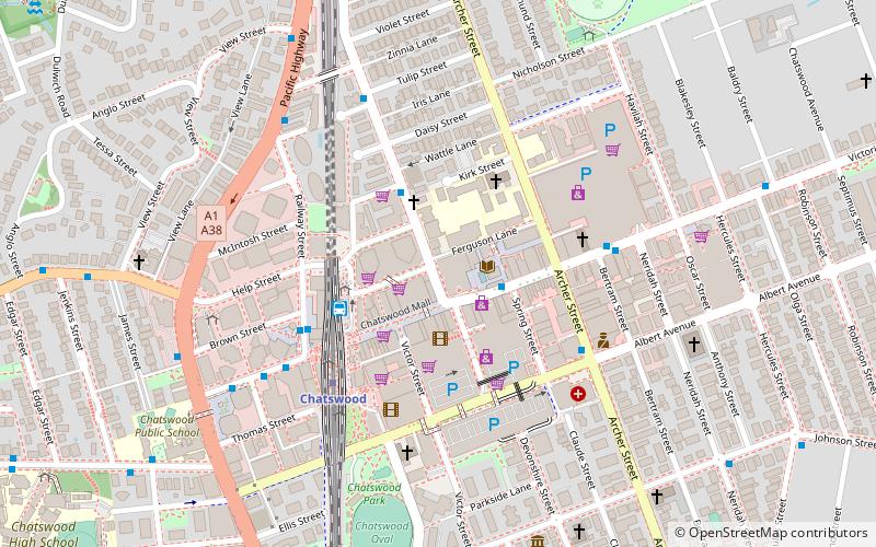
Nearby attractions include: Chatswood Mall, Westfield Chatswood, Chatswood Chase, Chatswood Interchange.

 Sydney Trains
 Sydney Light Rail
 Sydney Ferries


