Shelter Island
Map

Map

Facts and practical information
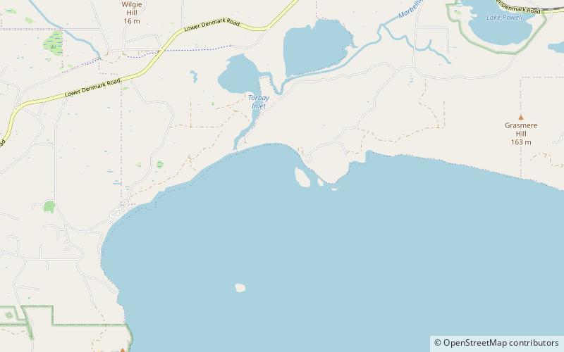
Shelter Island is approximately 20 kilometres due west of Albany, Western Australia. ()
Coordinates: 35°3'1"S, 117°41'17"E
Location
Western Australia
ContactAdd
Social media
Add
Day trips
Shelter Island – popular in the area (distance from the attraction)
Nearby attractions include: West Cape Howe National Park.

