Silverband Falls, Grampians National Park

Gallery (1)
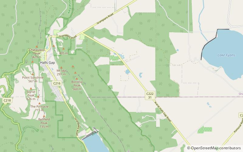
Map
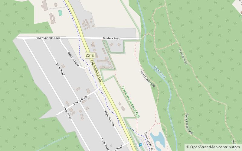
Map
Facts and practical information
The Silverband Falls are waterfalls located in the Grampians National Park, in western Victoria, Australia. Fed by Dairy Creek, the horsetail falls are characterised by a narrow band of water that tumbles over a small rock face and then disappears into a rocky base. The creek re-emerges some 50 metres west of the falls. ()
Coordinates: 37°9'10"S, 142°31'41"E
Address
Grampians National Park
ContactAdd
Social media
Add
Day trips