Cave Gardens, Mount Gambier
Map

Map

Facts and practical information
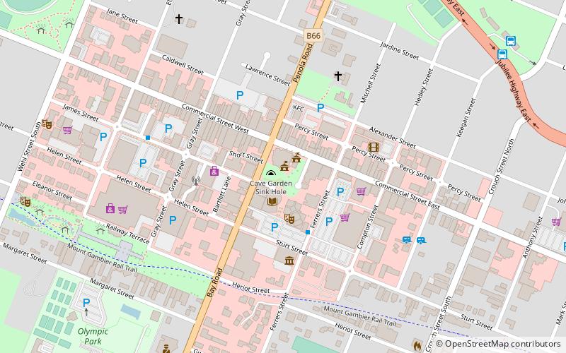
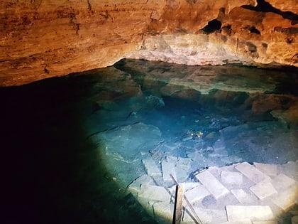
The Cave Gardens are the garden located in the centre of Mount Gambier in the Australian state of South Australia that contain a 30-metre-deep cave. The cave was initially used as a water source for the town. In 1870 the area became a reserve, and by the 1890s trees, gas lamps and seating were installed in the area. On 2 August 2001, the Cave Gardens were declared a State Heritage area. ()
Discovered: 1845Depth: 89 ftElevation: 141 ft a.s.l.Coordinates: 37°49'45"S, 140°46'52"E
Address
Watson DrMount Gambier 5290
Contact
+61 1800 087 187
Social media
Add
Day trips
Cave Gardens – popular in the area (distance from the attraction)
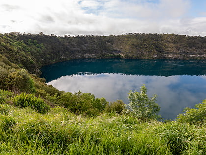
Nearby attractions include: Blue Lake, Engelbrecht Cave, Valley Lake, Mount Gambier Community RSL.
Frequently Asked Questions (FAQ)
Which popular attractions are close to Cave Gardens?
Nearby attractions include Main Corner Complex, Mount Gambier (1 min walk), Mount Gambier Community RSL, Mount Gambier (4 min walk), The Old Courthouse & Gallery, Mount Gambier (9 min walk), Engelbrecht Cave, Mount Gambier (20 min walk).


