Zangezur Mountains
Map
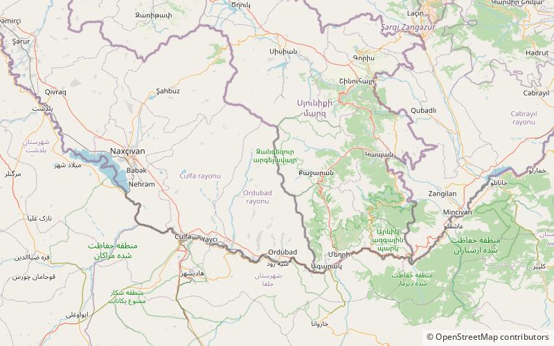
Map

Facts and practical information
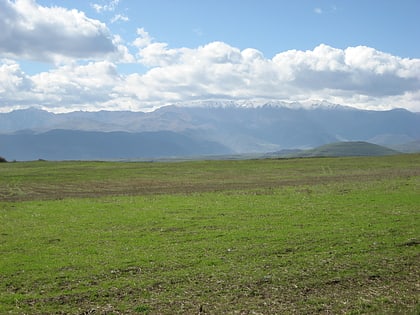
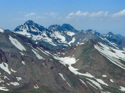
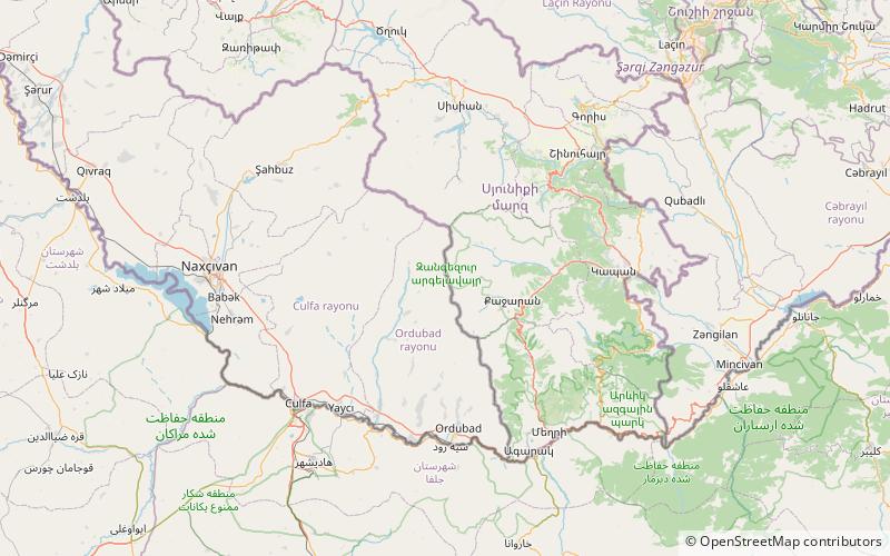
The Zangezur Mountains are a mountain range that defines the border between Armenia's southern provinces of Syunik, Vayots Dzor, and Azerbaijan's Nakhchivan Autonomous Republic. The Zangezur region is internationally recognized as being the second-largest tract of forests in Armenia, located in the Zangezur Mountains where they cover more than 20% of the territory of Armenian Syunik province and reach an elevation of 2,200-2,400 m. ()
Location
Nakhchivan
ContactAdd
Social media
Add
Day trips
Zangezur Mountains – popular in the area (distance from the attraction)
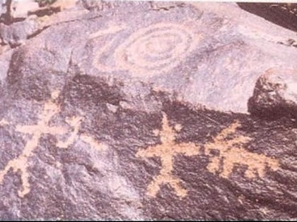
Nearby attractions include: Mount Kaputjugh, Gamigaya Petroglyphs, Gazanaler.
