Yerits Mankants Monastery
Map

Map

Facts and practical information
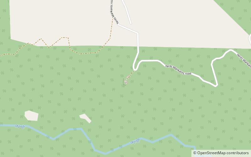
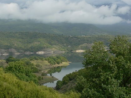
Yerits Mankants Monastery is a 17th-century Armenian monastery de facto in the Martakert Province of the self-proclaimed Republic of Artsakh, de jure in the Tartar District of Azerbaijan. The monastery is located in the mountains to the west of Maghavuz, southwest of Tonashen, and close to the fortress of Jraberd. ()
Alternative names: Completed: 1691 (335 years ago)Architectural style: Armenian architectureCoordinates: 40°15'7"N, 46°38'23"E
Location
Yukhari-Karabakh
ContactAdd
Social media
Add
Day trips
Yerits Mankants Monastery – popular in the area (distance from the attraction)
Nearby attractions include: Sarsang Reservoir, Jraberd Fortress.


