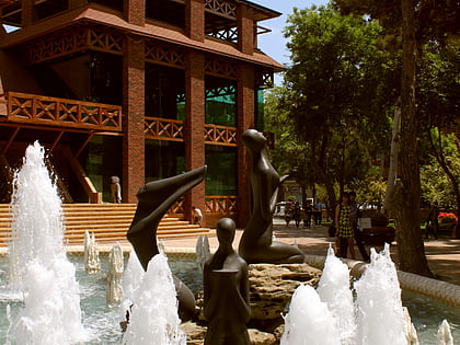
Khagani Alley, Baku
Map
Gallery
Facts and practical information
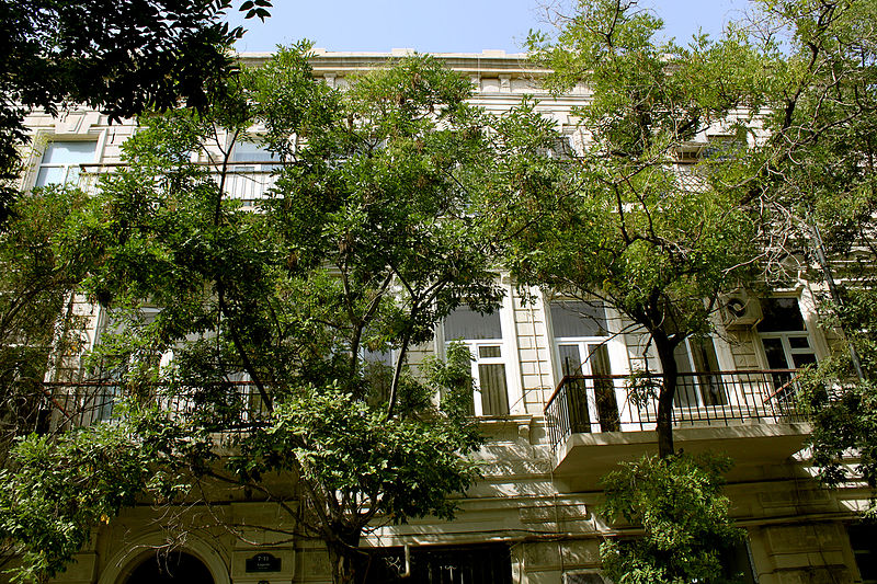
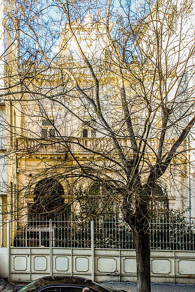
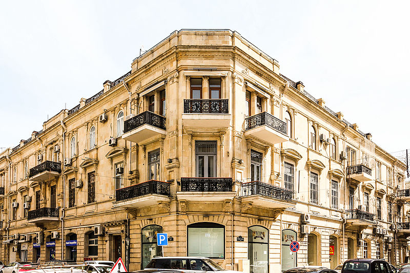
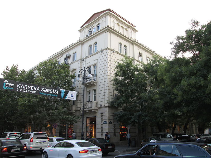
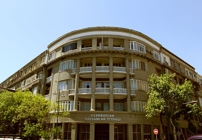
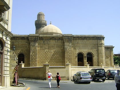
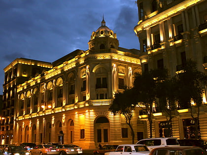
Khagani Alley is a road from Rasul Rza alley to Kovkab Khanim Safaraliyeva alley. There are many historical monuments of the 16th to 20th centuries on the street, as well as a statue and three parks. The road is 1.7 kilometres in length. ()
Coordinates: 40°22'30"N, 49°50'60"E
Address
Baku
ContactAdd
Social media
Add
Day trips
Khagani Alley – popular in the area (distance from the attraction)
Nearby attractions include: National Museum of History of Azerbaijan, Park Bulvar, House-Museum of Niyazi, Baku City Circuit.
Frequently Asked Questions (FAQ)
Which popular attractions are close to Khagani Alley?
Nearby attractions include Azerbaijan State Song Theatre, Baku (5 min walk), Government House, Baku (5 min walk), Church of the Saviour, Baku (5 min walk), National Library of Azerbaijan, Baku (6 min walk).
How to get to Khagani Alley by public transport?
The nearest stations to Khagani Alley:
Bus
Metro
Train
Bus
- Hökumət evi • Lines: 88 (3 min walk)
- Rəşid Behbudov adına Mahnı Teatrı • Lines: 88 (5 min walk)
Metro
- Cəfər Cabbarlı • Lines: 2B (9 min walk)
- 28 May • Lines: 1 (9 min walk)
Train
- Baku Central Railway Station (10 min walk)


