College of Health and Sport Sciences, Manama
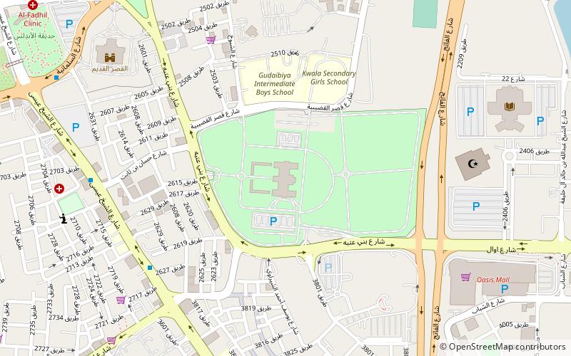
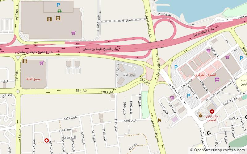
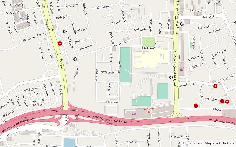
Map
Facts and practical information
The College of Health and Sport Sciences is a public higher education institution situated in the Kingdom of Bahrain. Established in 1976, it is a constituent college of the University of Bahrain. ()
Local name: كلية العلوم الصحيةEstablished: 1976 (50 years ago)Coordinates: 26°13'1"N, 50°34'26"E
Getting there by public transportation
Public transportation stops near this location
- Bus
 Bus
Bus
- Calculate routeManama Bus Terminal 26 min walk
- Calculate routeSaptco 28 min walk
Day trips


Frequently Asked Questions (FAQ)
Which popular attractions are close to College of Health and Sport Sciences?
Nearby attractions include Adliya, Manama (16 min walk), Bu Ghazal, Manama (18 min walk), Sacred Heart Church, Manama (23 min walk).
How to get to College of Health and Sport Sciences by public transport?
The nearest stations to College of Health and Sport Sciences:
Bus
Bus
- Manama Bus Terminal (26 min walk)
- Saptco (28 min walk)