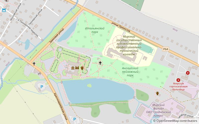
Chanpel-tomb of Svyatopolk-Mirsky princes, Mir
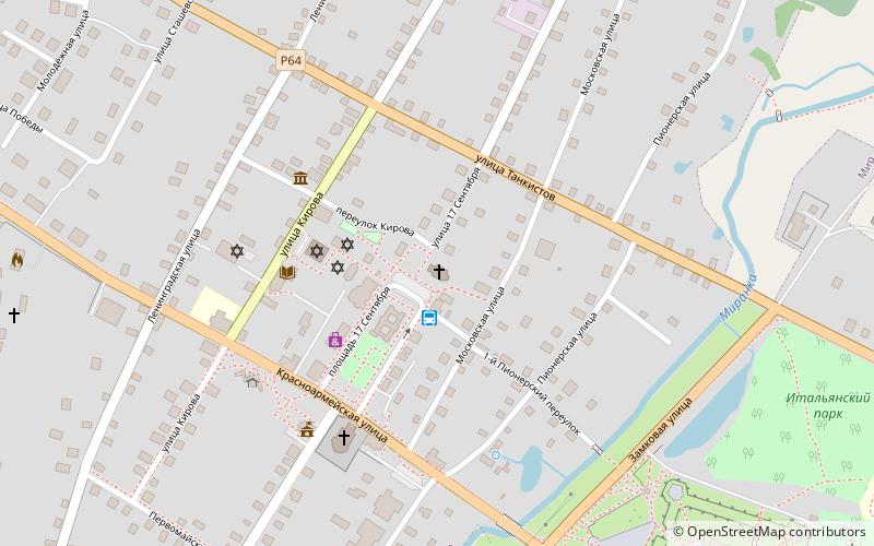
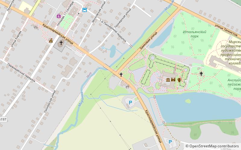
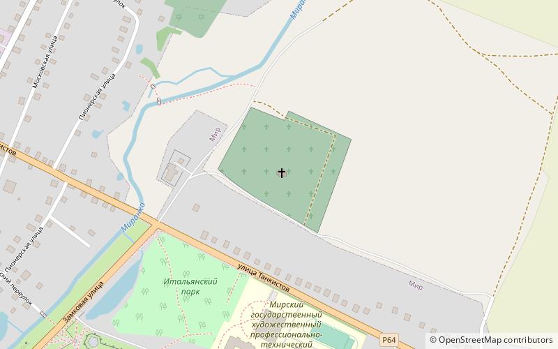
Map
Facts and practical information
Chanpel-tomb of Svyatopolk-Mirsky princes is a place located in Mir (Hrodna region) and belongs to the category of church.
It is situated at an altitude of 574 feet, and its geographical coordinates are 53°27'5"N latitude and 26°28'31"E longitude.
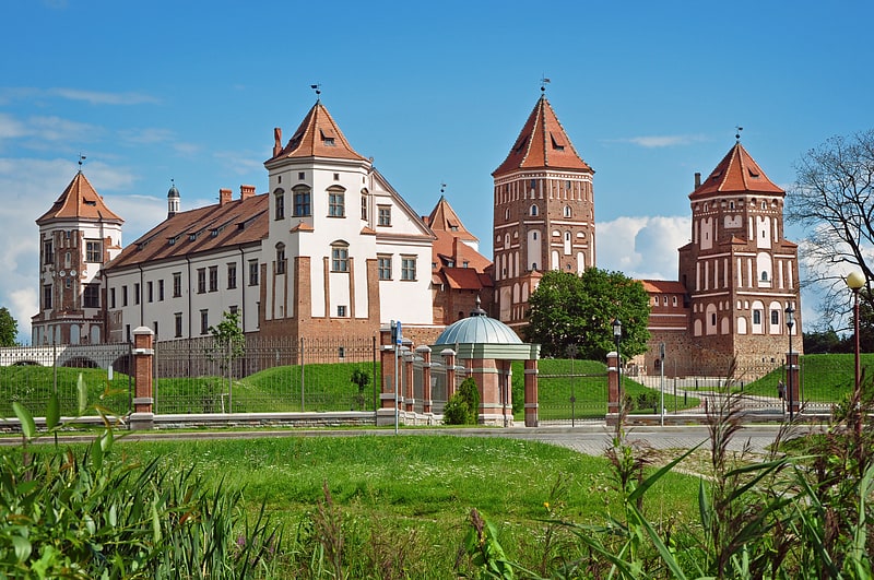
Among other places and attractions worth visiting in the area are: Mir Castle Complex (unesco, 3 min walk), Roadside chapel (church, 6 min walk), Hram kladbisenskij velikomucenika Georgia Pobedonosca (church, 7 min walk).
Coordinates: 53°27'5"N, 26°28'31"E
Address
Mir
ContactAdd
Social media
Add
Day trips

Frequently Asked Questions (FAQ)
Which popular attractions are close to Chanpel-tomb of Svyatopolk-Mirsky princes?
Nearby attractions include Mir Castle Complex, Mir (3 min walk), Roadside chapel, Mir (6 min walk), Hram kladbisenskij velikomucenika Georgia Pobedonosca, Mir (7 min walk), Cerkov Svatoj Troicy, Mir (11 min walk).