Kostel Troickij farnyj /sohr. cast steny/, Kletsk
Map
Facts and practical information
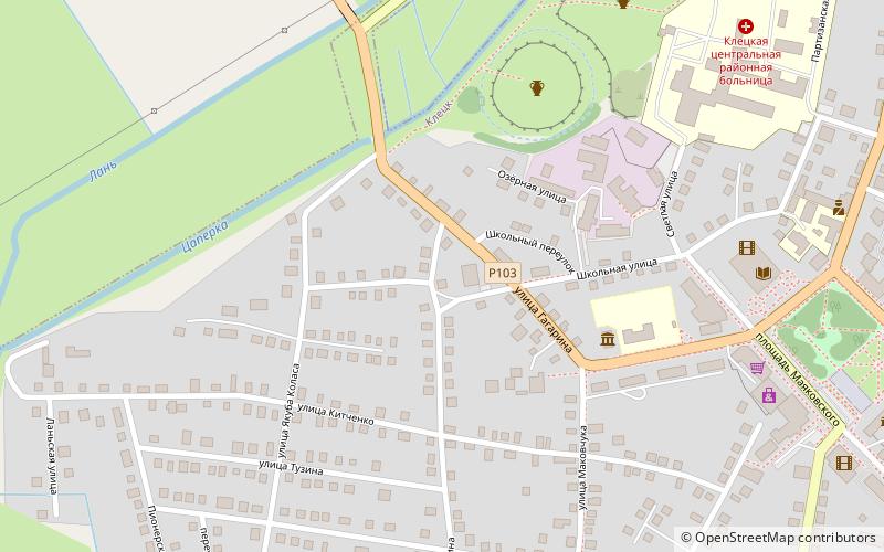
Kostel Troickij farnyj /sohr. cast steny/ is a place located in Kletsk (Minsk region) and belongs to the category of ruins.
It is situated at an altitude of 574 feet, and its geographical coordinates are 53°4'3"N latitude and 26°37'33"E longitude.
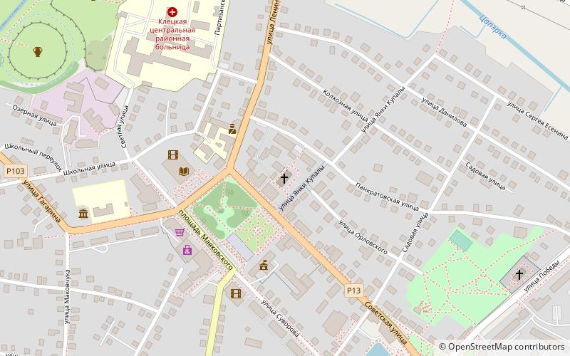
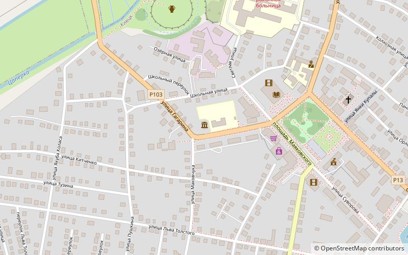
Among other places and attractions worth visiting in the area are: Muzej istorii Kletciny (museum, 4 min walk), Hram Voskresenia Hristova (church, 10 min walk), Kostel Svatoj Troicy (church, 18 min walk).
Coordinates: 53°4'3"N, 26°37'33"E
Address
Kletsk
ContactAdd
Social media
Add
Day trips
Frequently Asked Questions (FAQ)
Which popular attractions are close to Kostel Troickij farnyj /sohr. cast steny/?
Nearby attractions include Muzej istorii Kletciny, Kletsk (4 min walk), Hram Voskresenia Hristova, Kletsk (10 min walk), Kostel Svatoj Troicy, Kletsk (18 min walk).