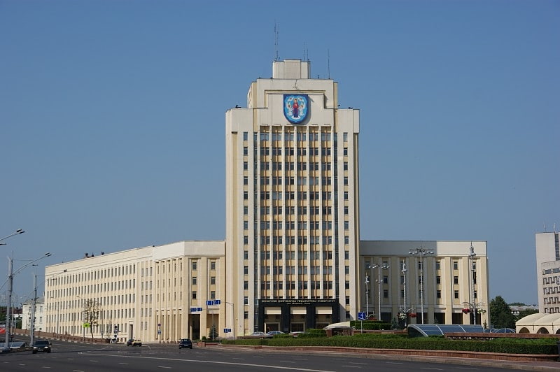
Kastrychnitski District, Minsk
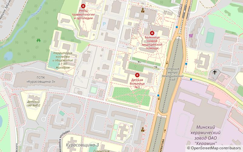
Map
Facts and practical information
Getting there by public transportation
Public transportation stops near this location
- Bus
- Trolleybus
- Train
 Bus
Bus
- Calculate routeДзіцячая бальніца 6 min walk
- Calculate routeБальніца хуткай дапамогі 6 min walk
- Calculate routeДзіцячая бальніца 5 min walk
- Calculate routeБальніца хуткай дапамогі 6 min walk
- Calculate routeSlucki Hasciniec 10 min walk
- Calculate routeЛошыца 25 min walk
- Calculate routeМінск-Паўднёвы 40 min walk
Day trips


Frequently Asked Questions (FAQ)
How to get to Kastrychnitski District by public transport?
The nearest stations to Kastrychnitski District:
Bus
Trolleybus
Train
Bus
- Дзіцячая бальніца • Lines: 176э, 180с, 45, 53, 73 (6 min walk)
- Бальніца хуткай дапамогі • Lines: 45, 53, 73 (6 min walk)
Trolleybus
- Дзіцячая бальніца • Lines: 43, 51, 59 (5 min walk)
- Бальніца хуткай дапамогі • Lines: 43, 51, 59 (6 min walk)
Train
- Лошыца (25 min walk)
- Мінск-Паўднёвы (40 min walk)