Belgiëlei, Antwerp
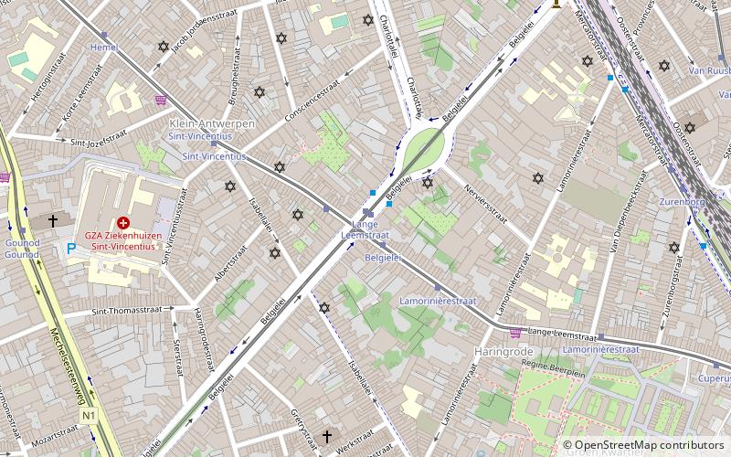
Map

Map

Facts and practical information
Coordinates: 51°12'21"N, 4°25'5"E
Address
Antwerpen (Haringrode)Antwerp
ContactAdd
Social media
Add
Day trips
Belgiëlei – popular in the area (distance from the attraction)
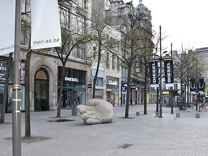
Nearby attractions include: Meir, Antwerp Zoo, Maagdenhuis Museum, Rubenshuis.
Frequently Asked Questions (FAQ)
Which popular attractions are close to Belgiëlei?
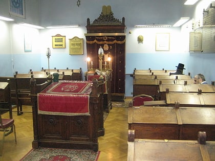
Nearby attractions include St. Boniface Church, Antwerp (6 min walk), Eisenmann Synagogue, Antwerp (9 min walk), De Koninck Antwerp City Brewery, Antwerp (12 min walk), Kapel van het Allerheiligste Sacrament, Antwerp (12 min walk).
How to get to Belgiëlei by public transport?
The nearest stations to Belgiëlei:
Tram
Bus
Train
Ferry
Tram
- Belgiëlei • Lines: 4 (1 min walk)
- Lange Leemstraat • Lines: 15, 2, 6 (1 min walk)
Bus
- Lange Leemstraat • Lines: 17, 191 (1 min walk)
- Lamorinièrestraat • Lines: 32 (8 min walk)
Train
- Antwerpen-Centraal (19 min walk)
- Antwerpen-Berchem (19 min walk)
Ferry
- Steenplein Antwerpen • Lines: Waterbus Schelde Hemiksem-Antwer, Waterbus Schelde Lillo-Antwerpen (38 min walk)


