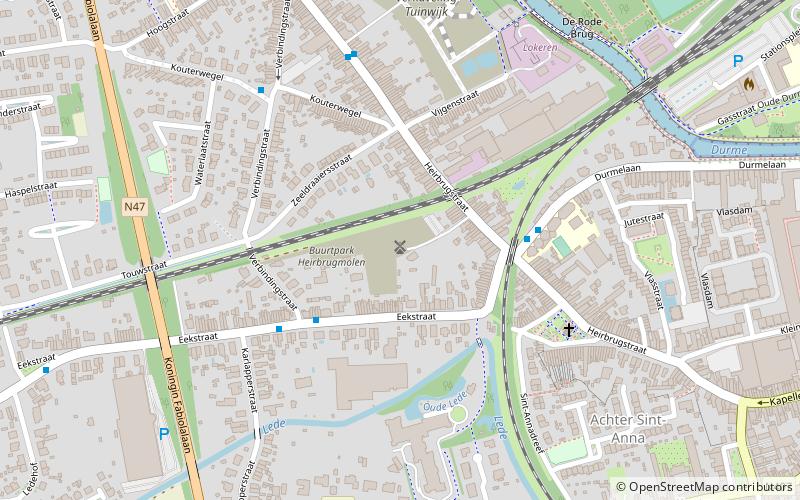
Heirbrugmolen, Lokeren

Gallery (1)
Map
Map
Facts and practical information
Heirbrugmolen is a place located in Lokeren (Vlaanderen region) and belongs to the category of windmill.
It is situated at an altitude of 16 feet, and its geographical coordinates are 51°6'13"N latitude and 3°58'37"E longitude.
Among other places and attractions worth visiting in the area are: Daknamstadion (football, 26 min walk), Verloren Bos (park, 26 min walk), Zele (locality, 93 min walk).
Coordinates: 51°6'13"N, 3°58'37"E
Address
Lokeren
ContactAdd
Social media
Add
Day trips