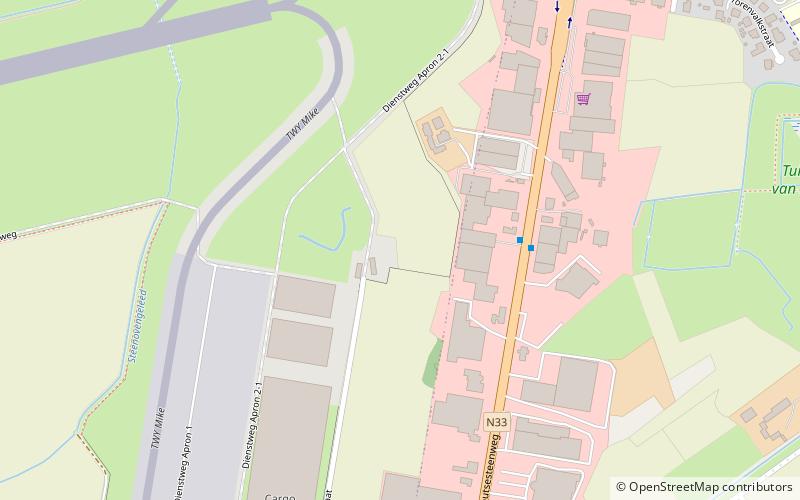
Arrondissement of Ostend, Ostend

Map
Facts and practical information
The Arrondissement of Ostend is one of the eight administrative arrondissements in the Province of West Flanders, Belgium. ()
Address
Ostend
ContactAdd
Social media
Add
Day trips
Arrondissement of Ostend – popular in the area (distance from the attraction)
Nearby attractions include: Fort Napoleon, Atlantic Wall open-air museum, Mu.ZEE, Lange Nelle.
Frequently Asked Questions (FAQ)
How to get to Arrondissement of Ostend by public transport?
The nearest stations to Arrondissement of Ostend:
Bus
Tram
Bus
- Stene Esperanto • Lines: 51, 52, 53, 83 (3 min walk)
- Stene Top Center • Lines: 51, 52, 53, 83 (8 min walk)
Tram
- Stop (36 min walk)
- Mariakerke Bad • Lines: (36 min walk)


