Brussels Canal, Brussels
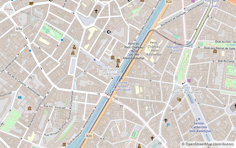
Map
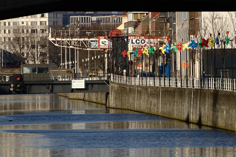
Gallery
Facts and practical information
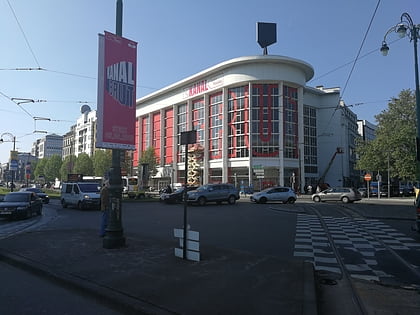
The Brussels Canal is a section of waterway in Brussels, Belgium. It generally refers to the northernmost portion of the Brussels–Charleroi Canal and the southernmost section of the Brussels–Scheldt Maritime Canal or Willebroek Canal. ()
Address
38 lower dominick street, 1000 bruxellesMolenbeek-Saint-Jean (Molenbeek Historique)Brussels
Contact
Social media
Add
Day trips
Brussels Canal – popular in the area (distance from the attraction)
Nearby attractions include: Place de Brouckère, KANAL - Centre Pompidou, La Fonderie, Bruxella 1238.
Frequently Asked Questions (FAQ)
Which popular attractions are close to Brussels Canal?
Nearby attractions include iMAL, Brussels (2 min walk), La Bellone, Brussels (7 min walk), MIMA the Millennium Iconoclast Museum of Art, Brussels (7 min walk), La Fonderie, Brussels (8 min walk).
How to get to Brussels Canal by public transport?
The nearest stations to Brussels Canal:
Tram
Metro
Bus
Ferry
Train
Tram
- Porte de Flandre - Vlaamsepoort • Lines: 51 (1 min walk)
- Marguerite Duras • Lines: 51 (6 min walk)
Metro
- Comte de Flandre - Graaf van Vlaanderen • Lines: 1, 5 (3 min walk)
- Sainte-Catherine - Sint-Katelijne • Lines: 1, 5 (8 min walk)
Bus
- Porte de Flandre - Vlaamsepoort • Lines: 126, 127, 128, 89, N16 (3 min walk)
- Comte de Flandre - Graaf van Vlaanderen • Lines: 86 (6 min walk)
Ferry
- Sainctelette • Lines: Wb (12 min walk)
- Quai des Péniches - Akenkaai • Lines: Wb (13 min walk)
Train
- De Brouckère (14 min walk)
- Bourse - Beurs (14 min walk)

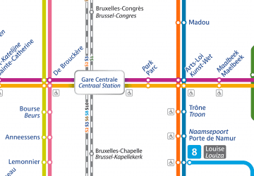 Metro / Rail
