Arrondissement of Turnhout, Turnhout
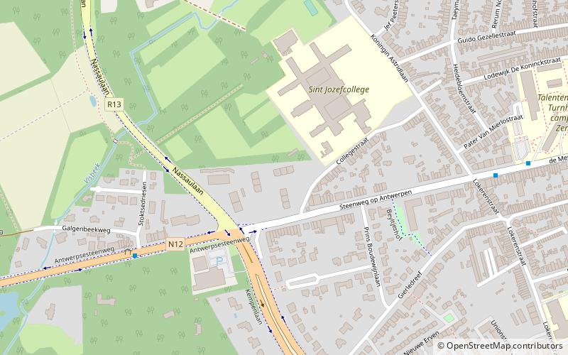
Map
Facts and practical information
The Arrondissement of Turnhout is one of the three administrative arrondissements in the Province of Antwerp, Belgium. It is both an administrative and a judicial arrondissement. The territory of the Judicial Arrondissement of Turnhout coincides with that of the Administrative Arrondissement of Turnhout and part of the Campine region. ()
Local name: Arrondissement administratif de Turnhout Area: 523.89 mi²Coordinates: 51°19'12"N, 4°55'12"E
Address
TurnhoutTurnhout
ContactAdd
Social media
Add
Getting there by public transportation
Public transportation stops near this location
- Bus
- Train
 Bus
Bus
- Calculate routeTurnhout Galgenbeekweg 6 min walk
- Calculate routeTurnhout Oud-Strijderslaan 14 min walk
- Calculate routeTurnhout Oudstrijderslaan 14 min walk
- Calculate routeTurnhout 21 min walk
Day trips


Frequently Asked Questions (FAQ)
How to get to Arrondissement of Turnhout by public transport?
The nearest stations to Arrondissement of Turnhout:
Bus
Train
Bus
- Turnhout Galgenbeekweg • Lines: 1, 200, 410, 416, 419, 431, 433, 434 (6 min walk)
- Turnhout Oud-Strijderslaan • Lines: 210, 212, 213, 305, 430, 431, 490 (14 min walk)
Train
- Turnhout (21 min walk)