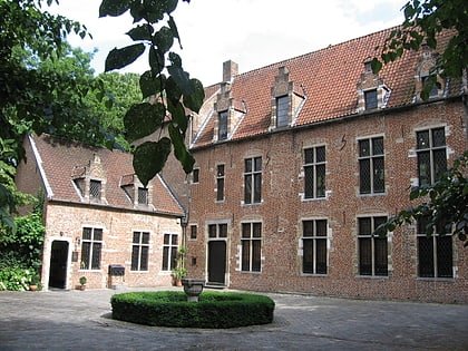
National Museum of the Resistance, Brussels
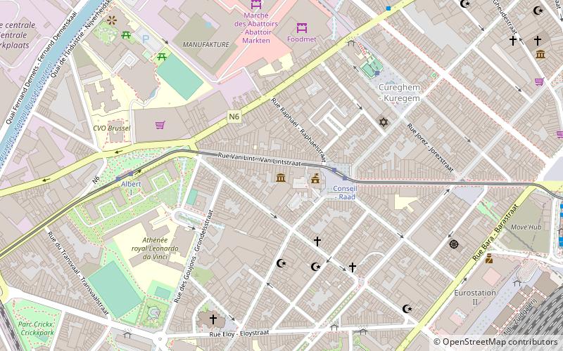
Map
Gallery

Facts and practical information
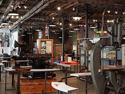
The National Museum of the Resistance is a museum located in the municipality of Anderlecht in Brussels, Belgium. The museum traces the history of the Belgian resistance and German occupation of Belgium during World War II. It is served by Clemenceau metro station on lines 2 and 6 of the Brussels metro. ()
Address
Rue Van Lint 14Anderlecht (Cureghem Bara)Brussels 1070
Contact
+32 2 522 40 41
Social media
Add
Day trips
National Museum of the Resistance – popular in the area (distance from the attraction)
Nearby attractions include: Manneken Pis, Palais de Justice, Halle Gate, Chapel Church.
Frequently Asked Questions (FAQ)
Which popular attractions are close to National Museum of the Resistance?
Nearby attractions include Cantillon, Brussels (10 min walk), Tour du Midi, Brussels (12 min walk), Avenue Fonsny, Brussels (14 min walk), Halle Gate, Brussels (20 min walk).
How to get to National Museum of the Resistance by public transport?
The nearest stations to National Museum of the Resistance:
Tram
Metro
Bus
Train
Tram
- Conseil - Raad • Lines: 81 (2 min walk)
- Albert I • Lines: 81 (6 min walk)
Metro
- Clemenceau • Lines: 2, 6 (5 min walk)
- Delacroix • Lines: 2, 6 (12 min walk)
Bus
- Clemenceau • Lines: 46, N13 (6 min walk)
- Ancien Dépôt - Oude Stelplaats • Lines: 116, 117, 118, 136, 140, 141, 142, 144, 145, 170, 171 (6 min walk)
Train
- Brussels-Midi (12 min walk)
- Lemonnier (15 min walk)

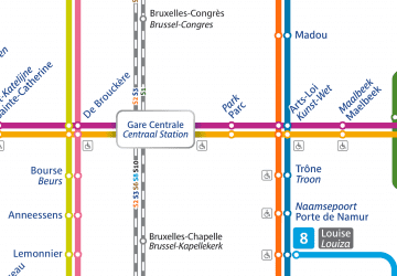 Metro / Rail


